Transport Functions
Multimodal
Hub Profile
Place type
District seat
Region
Lombardy
Population
537
Time zone
Europe/Rome
Elevation
43 m
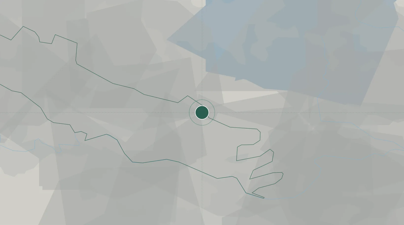
Location
Nearby Logistics Neighbours
Cities
- 1Isola Dovarese4 km
- 2Casalromano5 km
- 3Piadena9 km
- 4Casalmoro10 km
- 5Derovere10 km
Ports
- 1Chiavari - Lavagna126 km
- 2La Spezia128 km
- 3Marina Di Carrara132 km
- 4Genova141 km
- 5Viareggio149 km
Airports
Trade Zones
DatabookThe Record of Consolidated Knowledge
Italy beyond logistics?