Transport Functions
Multimodal
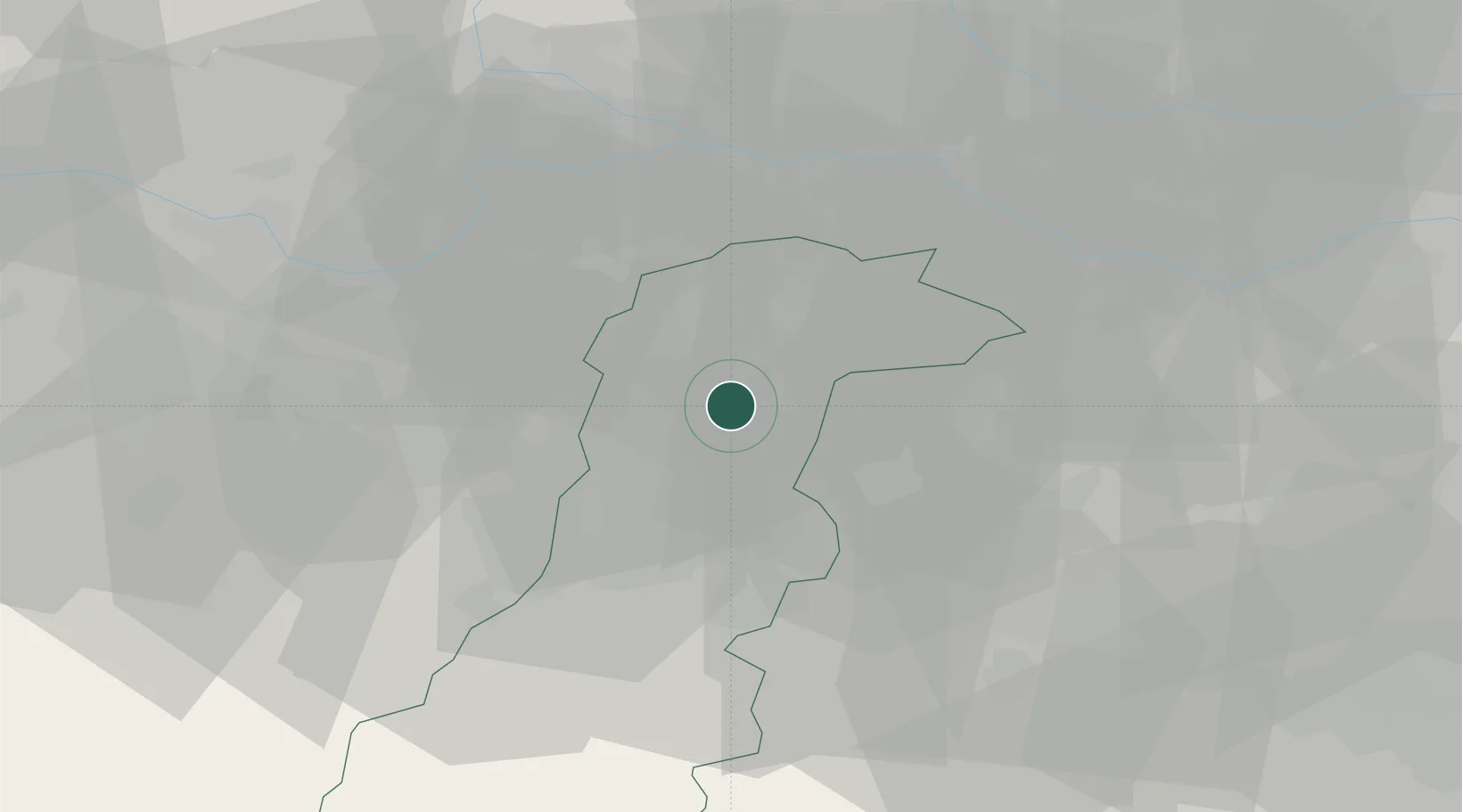
Hub Profile
Place type
Populated place
Region
Emilia-Romagna
Population
3,505
Time zone
Europe/Rome
Elevation
27 m
Location
Nearby Logistics Neighbours
Cities
- 1Fossoli di Carpi12 km
- 2Crevalcore12 km
- 3Migliarina13 km
- 4Cognento17 km
- 5Modena17 km
Ports
- 1Porto Garibaldi99 km
- 2Porto Di Corsini106 km
- 3Marina Di Carrara110 km
- 4Porto Di Chioggia116 km
- 5Viareggio116 km
Airports
Trade Zones
DatabookThe Record of Consolidated Knowledge
Italy beyond logistics?