Transport Functions
Multimodal
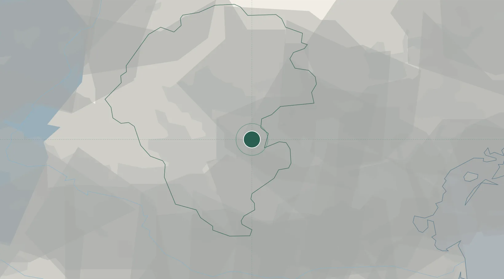
Hub Profile
Place type
District seat
Region
Veneto
Population
1,984
Time zone
Europe/Rome
Elevation
37 m
Location
Nearby Logistics Neighbours
Cities
- 1Monticello Conte Otto3 km
- 2Polegge6 km
- 3San Pietro in Gù7 km
- 4Montecchio Precalcino12 km
- 5Costabissara12 km
Ports
- 1Porto Di Chioggia65 km
- 2Porto Di Lido-Venezia66 km
- 3Porto Garibaldi111 km
- 4Nogaro122 km
- 5Porto Di Corsini130 km
Airports
Trade Zones
DatabookThe Record of Consolidated Knowledge
Italy beyond logistics?