UN/LOCODE hub · Italy
ITZTB
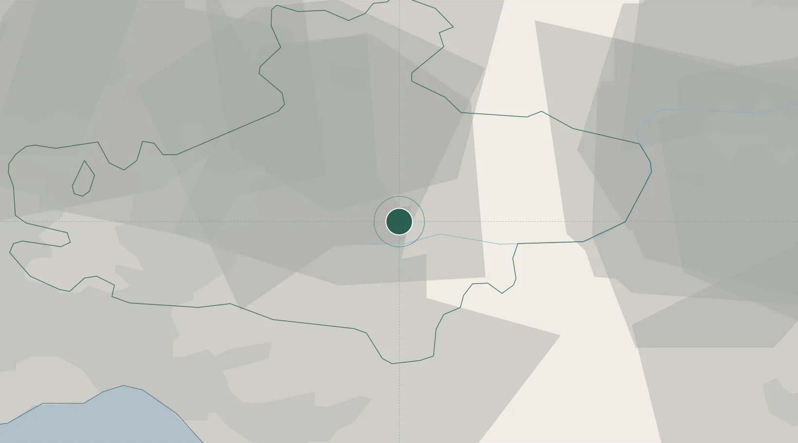
Sant Angelo dei Lombardi
40.9333°, 15.1833°
2,104
Population
1
Transport functions
Transport Functions
Multimodal
Hub Profile
Place type
District seat
Region
Campania
Population
2,104
Time zone
Europe/Rome
Elevation
870 m
Location
Nearby Logistics Neighbours
Cities
- 1Frigento12 km
- 2Sturno12 km
- 3Grottaminarda19 km
- 4Calitri21 km
- 5Torre Le Nocelle26 km
Ports
- 1Salerno47 km
- 2Castellammare Di Stabia65 km
- 3Torre Annunziata65 km
- 4Torre Del Greco71 km
- 5Napoli77 km
Airports
- 1Salerno Costa d'Amalfi Airport42 km
- 2Foggia Gino Lisa Airport63 km
- 3Naples International Airport75 km
- 4Amendola Air Base81 km
- 5Grazzanise Air Base94 km
DatabookThe Record of Consolidated Knowledge
Italy beyond logistics?