Transport Functions
Multimodal
Hub Profile
Place type
District seat
Region
Campania
Population
684
Time zone
Europe/Rome
Elevation
911 m
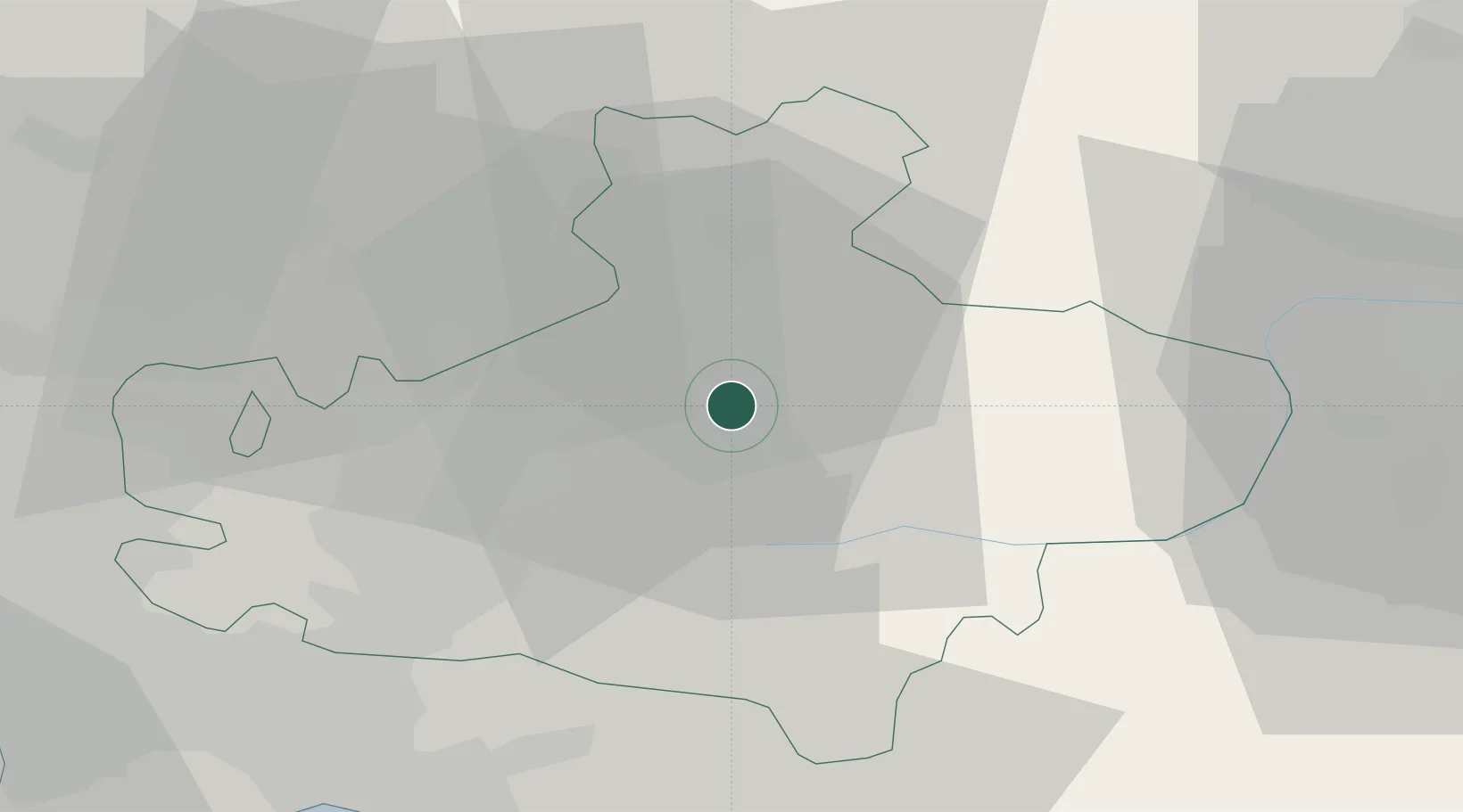
Location
Nearby Logistics Neighbours
Cities
- 1Sturno0 km
- 2Grottaminarda8 km
- 3Sant Angelo dei Lombardi12 km
- 4Torre Le Nocelle17 km
- 5Sant'Angelo all'Esca20 km
Ports
- 1Salerno49 km
- 2Torre Annunziata62 km
- 3Castellammare Di Stabia63 km
- 4Torre Del Greco67 km
- 5Napoli72 km
Airports
- 1Salerno Costa d'Amalfi Airport47 km
- 2Foggia Gino Lisa Airport59 km
- 3Naples International Airport70 km
- 4Amendola Air Base78 km
- 5Grazzanise Air Base86 km
DatabookThe Record of Consolidated Knowledge
Italy beyond logistics?