Transport Functions
Multimodal
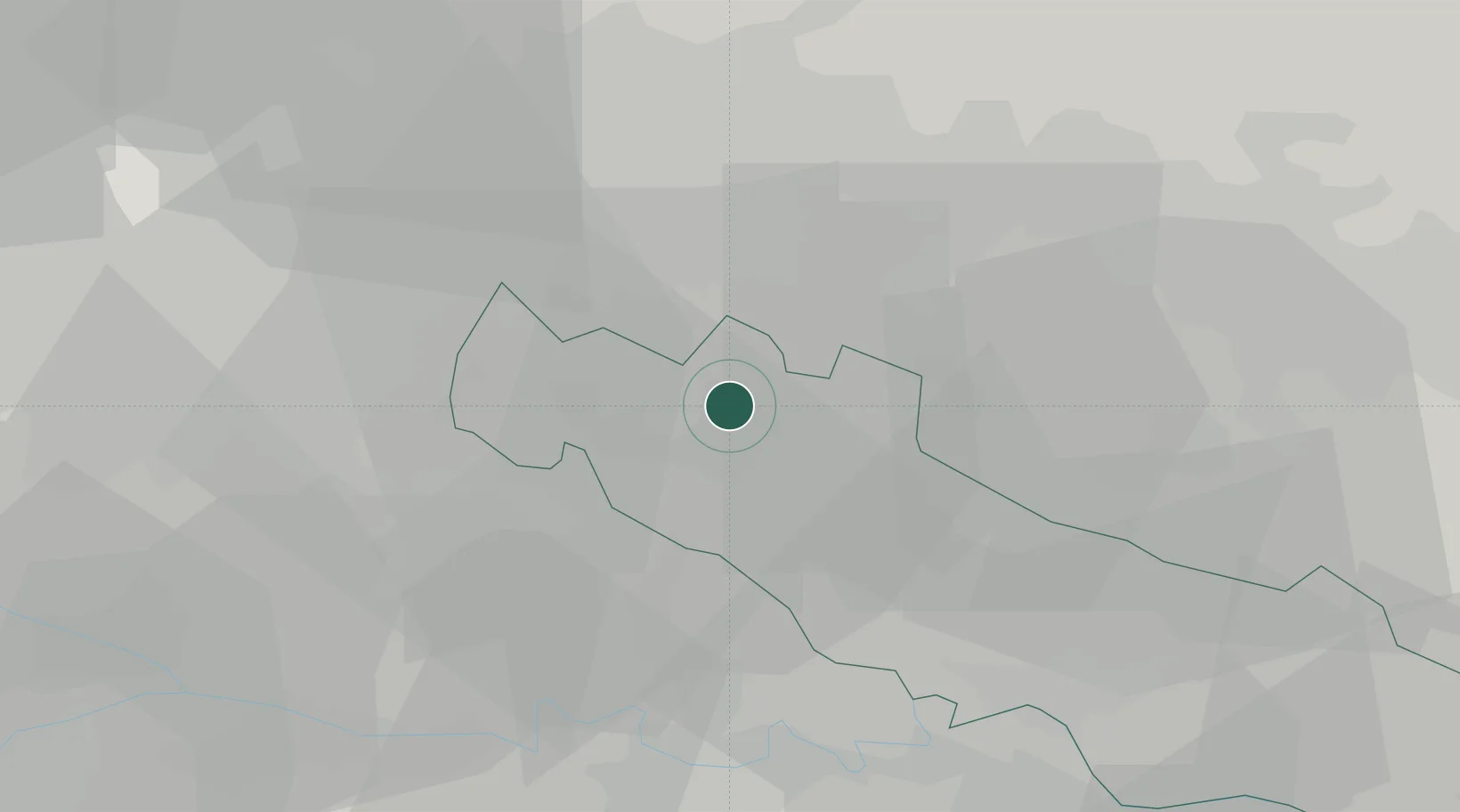
Hub Profile
Place type
District seat
Region
Lombardy
Population
1,065
Time zone
Europe/Rome
Elevation
86 m
Location
Nearby Logistics Neighbours
Cities
- 1Cremosano7 km
- 2Casaletto Vaprio8 km
- 3Ticengo9 km
- 4Pieranica9 km
- 5Chieve10 km
Ports
- 1Chiavari - Lavagna126 km
- 2Genova128 km
- 3La Spezia145 km
- 4Savona154 km
- 5Marina Di Carrara155 km
Airports
Trade Zones
DatabookThe Record of Consolidated Knowledge
Italy beyond logistics?