Transport Functions
Road
Multimodal
Hub Profile
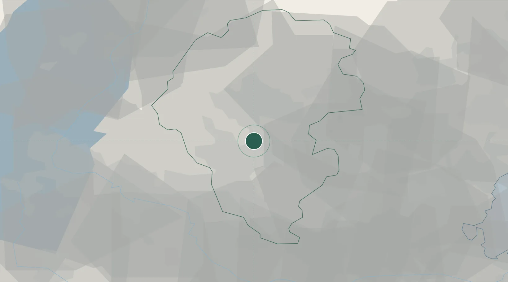
Place type
District seat
Region
Veneto
Population
3,217
Time zone
Europe/Rome
Elevation
49 m
Location
Nearby Logistics Neighbours
Cities
- 1Gambugliano3 km
- 2Polegge7 km
- 3Brogliano8 km
- 4Monticello Conte Otto9 km
- 5Cereda11 km
Ports
- 1Porto Di Chioggia76 km
- 2Porto Di Lido-Venezia78 km
- 3Porto Garibaldi118 km
- 4Nogaro134 km
- 5Porto Di Corsini137 km
Airports
Trade Zones
DatabookThe Record of Consolidated Knowledge
Italy beyond logistics?