UN/LOCODE hub · Italy
ITZOS

San Nazario

45.8333°, 11.6833°
737
Population
1
Transport functions

Transport Functions

Multimodal
UN/LOCODE

Hub Profile

Place type
District seat
GeoNames
Region
Veneto
GeoNames
Population
737
GeoNames
Time zone
Europe/Rome
GeoNames
Elevation
160 m
GeoNames

Location

Location of ITZOS
Natural Earth 10m (public domain) · Veneto · ITZOS · 45.83, 11.68GoogleOSMYandex

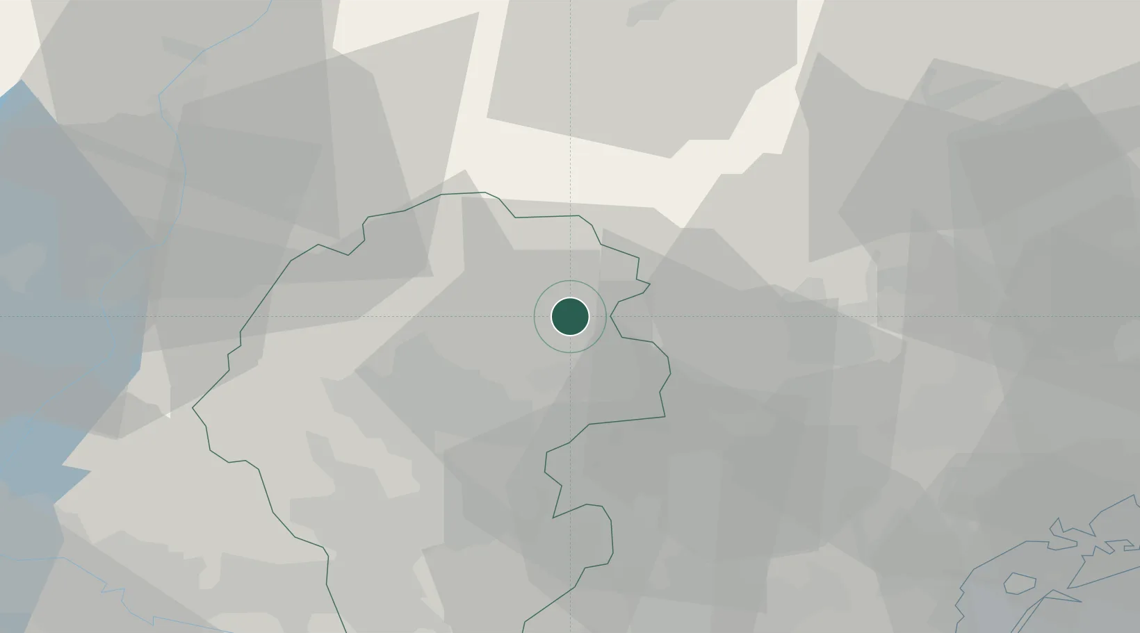
Nearby Logistics Neighbours

Cities
  1. 1Campolongo sul Brenta2 km
  2. 2Valstagna3 km
  3. 3Solagna3 km
  4. 4Semonzo7 km
  5. 5Olmo di Creazzo10 km
Nearest neighbours — logibook spatial index (haversine) over the source coordinates
Ports
  1. 1Porto Di Lido-Venezia75 km
  2. 2Porto Di Chioggia82 km
  3. 3Nogaro115 km
  4. 4Grado126 km
  5. 5Porto Garibaldi136 km
Nearest neighbours — logibook spatial index (haversine) over the source coordinates
Airports
  1. 1Istrana Air Base35 km
  2. 2Treviso Airport45 km
  3. 3Trento-Mattarello Airport48 km
  4. 4Padova Gino Allegri Airfield50 km
  5. 5Venice Marco Polo Airport64 km
Nearest neighbours — logibook spatial index (haversine) over the source coordinates
Trade Zones
  1. 1Consorzio Zona Industriale e Porto Fluviale di Padova53 km
  2. 2Free Port of Venice66 km
  3. 3Livigno Free Trade Zone145 km
  4. 4Free Port of Trieste162 km
  5. 5Port of Pula Free Zone200 km
Nearest neighbours — logibook spatial index (haversine) over the source coordinates
DatabookThe Record of Consolidated Knowledge
Italy beyond logistics?
Browse databook

All Sources

LocationsUN/LOCODE
UN/LOCODE — free
LocationsGeoNames
CC BY 4.0
Portsthe NGA World Port Index
Public domain (US gov)
AirportsOurAirports
Public domain
Trade Zonesthe World Bank SEZ database
CC BY 4.0
Trade ZonesOpen Zone Map
CC BY
← Italy locations