Transport Functions
Multimodal
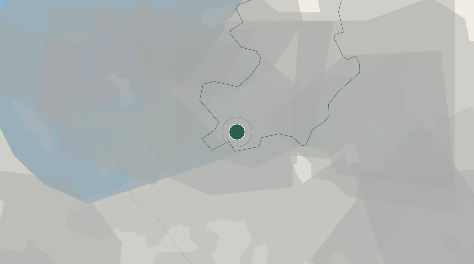
Hub Profile
Place type
District seat
Region
Lombardy
Population
3,114
Time zone
Europe/Rome
Elevation
290 m
Location
Nearby Logistics Neighbours
Cities
- 1Cirimido0 km
- 2Guanzate2 km
- 3Limido Comasco2 km
- 4Lurago Marinone3 km
- 5Bulgarograsso4 km
Ports
- 1Genova145 km
- 2Chiavari - Lavagna157 km
- 3Savona159 km
- 4Rada Di Vado165 km
- 5La Spezia190 km
Airports
- 1Varese-Venegono Airport10 km
- 2Milan Malpensa International Airport23 km
- 3Cameri Air Base32 km
- 4Lugano Airport35 km
- 5Milano Linate Airport36 km
Trade Zones
- 1Magazzini Generali Con Chiasso17 km
- 2Livigno Free Trade Zone126 km
- 3Aosta Valley170 km
- 4Port Franc Vevey206 km
- 5PESA - Port-Franc et Entrepôts de Lausanne-Chavornay SA219 km
DatabookThe Record of Consolidated Knowledge
Italy beyond logistics?