UN/LOCODE hub · Italy
ITZDB

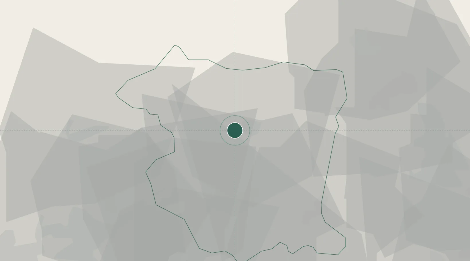
Montereale Valcellina

46.1667°, 12.6667°
3,541
Population
3
Transport functions

Transport Functions

Rail
Road
Multimodal
UN/LOCODE

Hub Profile

Place type
District seat
GeoNames
Region
Friuli Venezia Giulia
GeoNames
Population
3,541
GeoNames
Time zone
Europe/Rome
GeoNames
Elevation
318 m
GeoNames

Location

Location of ITZDB
Natural Earth 10m (public domain) · Friuli Venezia Giulia · ITZDB · 46.17, 12.67GoogleOSMYandex

Nearby Logistics Neighbours

Cities
  1. 1Travesio16 km
  2. 2Rauscedo19 km
  3. 3Pinzano al Tagliamento21 km
  4. 4San Giorgio della Richinvelda21 km
  5. 5Polcenigo22 km
Nearest neighbours — logibook spatial index (haversine) over the source coordinates
Ports
  1. 1Nogaro60 km
  2. 2Grado72 km
  3. 3Monfalcone81 km
  4. 4Porto Di Lido-Venezia85 km
  5. 5Piran99 km
Nearest neighbours — logibook spatial index (haversine) over the source coordinates
Airports
  1. 1Aviano Air Base16 km
  2. 2Udine-Rivolto Air Base36 km
  3. 3Treviso Airport68 km
  4. 4Istrana Air Base70 km
  5. 5Trieste Airport73 km
Nearest neighbours — logibook spatial index (haversine) over the source coordinates
Trade Zones
  1. 1Free Port of Venice86 km
  2. 2Free Port of Trieste102 km
  3. 3Consorzio Zona Industriale e Porto Fluviale di Padova104 km
  4. 4Port of Rijeka Free Zone164 km
  5. 5Free Zone Kukuljanovo170 km
Nearest neighbours — logibook spatial index (haversine) over the source coordinates
DatabookThe Record of Consolidated Knowledge
Italy beyond logistics?
Browse databook

All Sources

LocationsUN/LOCODE
UN/LOCODE — free
LocationsGeoNames
CC BY 4.0
Portsthe NGA World Port Index
Public domain (US gov)
AirportsOurAirports
Public domain
Trade Zonesthe World Bank SEZ database
CC BY 4.0
Trade ZonesOpen Zone Map
CC BY
← Italy locations