Transport Functions
Rail
Road
Hub Profile
Place type
District seat
Region
Friuli Venezia Giulia
Population
875
Time zone
Europe/Rome
Elevation
226 m
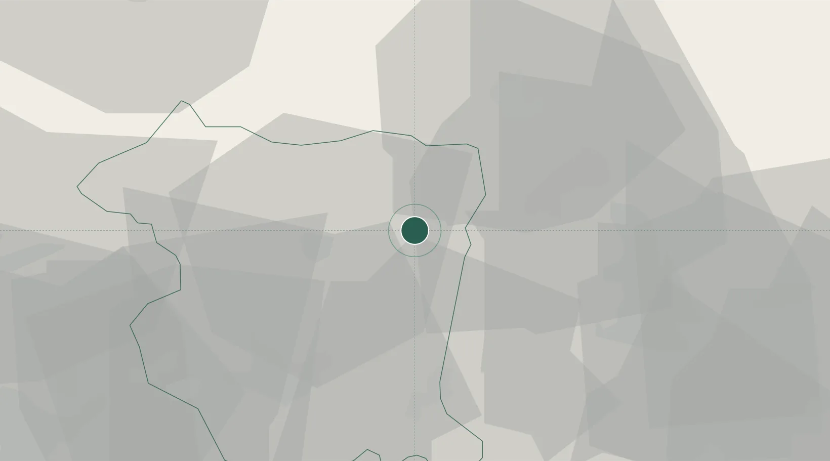
Location
Nearby Logistics Neighbours
Cities
- 1Pinzano al Tagliamento6 km
- 2Montereale Valcellina16 km
- 3San Giorgio della Richinvelda19 km
- 4Rauscedo19 km
- 5Treppo Grande21 km
Ports
- 1Nogaro54 km
- 2Grado65 km
- 3Monfalcone70 km
- 4Trieste91 km
- 5Piran92 km
Airports
- 1Aviano Air Base28 km
- 2Udine-Rivolto Air Base28 km
- 3Trieste Airport63 km
- 4Treviso Airport80 km
- 5Istrana Air Base83 km
Trade Zones
DatabookThe Record of Consolidated Knowledge
Italy beyond logistics?