UN/LOCODE hub · Italy
ITSPG

Spigno Saturnia

41.3000°, 13.7167°
1
Transport functions

Transport Functions

Multimodal
UN/LOCODE

Hub Profile

Region
LT
GeoNames

Location

Location of ITSPG
Natural Earth 10m (public domain) · LT · ITSPG · 41.30, 13.72GoogleOSMYandex

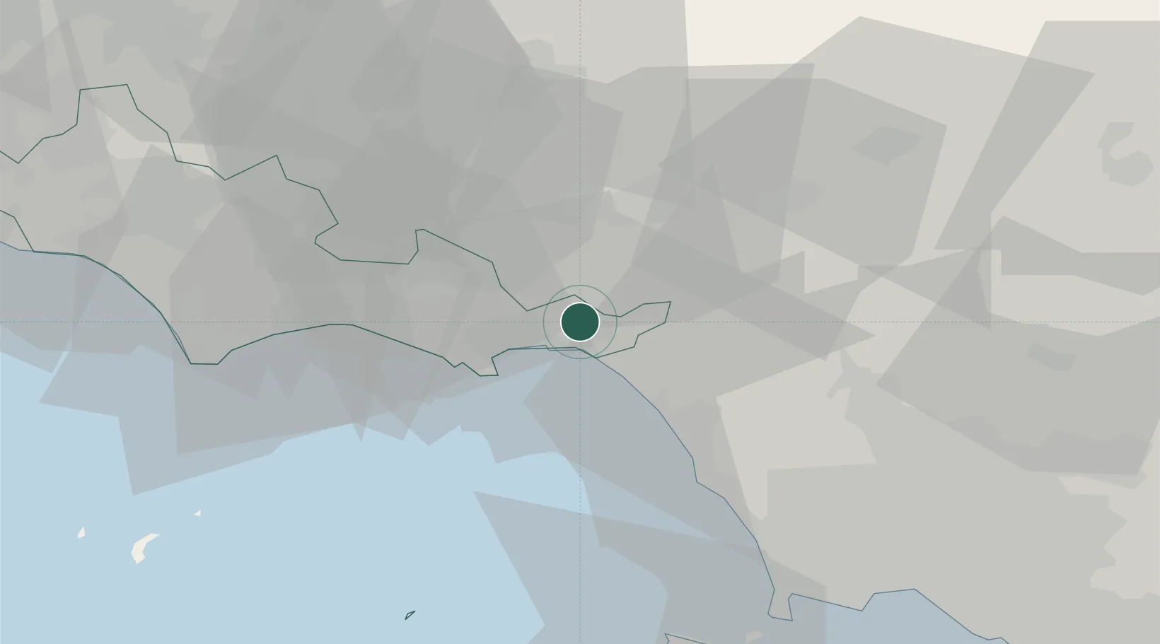
Nearby Logistics Neighbours

Cities
  1. 1Tufo6 km
  2. 2Scauri6 km
  3. 3Ausonia6 km
  4. 4Santi Cosma e Damiano7 km
  5. 5Formia10 km
Nearest neighbours — logibook spatial index (haversine) over the source coordinates
Ports
  1. 1Formia10 km
  2. 2Gaeta15 km
  3. 3Terracina38 km
  4. 4San Felice Circeo52 km
  5. 5Baia62 km
Nearest neighbours — logibook spatial index (haversine) over the source coordinates
Airports
  1. 1Grazzanise Air Base41 km
  2. 2Naples International Airport67 km
  3. 3Latina Air Base73 km
  4. 4Ciampino–G. B. Pastine International Airport109 km
  5. 5Guidonia Air Base112 km
Nearest neighbours — logibook spatial index (haversine) over the source coordinates
Trade Zones
  1. 1Ionian Special Economic Zone52 km
  2. 2Campania Special Economic Zone (Naples and Salerno)62 km
  3. 3Abruzzo Special Economic Zone114 km
  4. 4Puglia (Apulia) Special Economic Zone Area162 km
  5. 5Basilicata Special Economic Zone176 km
Nearest neighbours — logibook spatial index (haversine) over the source coordinates
DatabookThe Record of Consolidated Knowledge
Italy beyond logistics?
Browse databook

All Sources

LocationsUN/LOCODE
UN/LOCODE — free
Portsthe NGA World Port Index
Public domain (US gov)
AirportsOurAirports
Public domain
Trade Zonesthe World Bank SEZ database
CC BY 4.0
Trade ZonesOpen Zone Map
CC BY
← Italy locations