Transport Functions
Multimodal
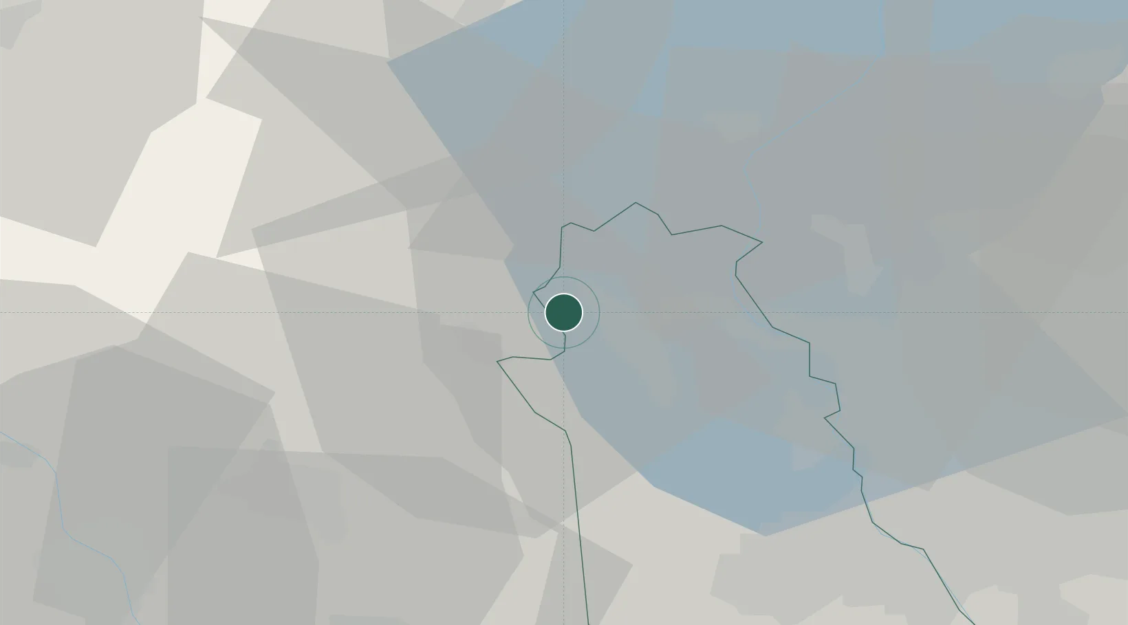
Hub Profile
Place type
District seat
Region
Piedmont
Population
1,433
Time zone
Europe/Rome
Elevation
420 m
Location
Nearby Logistics Neighbours
Cities
- 1San Maurizio d'Opaglio2 km
- 2Valduggia6 km
- 3Serravalle Sesia9 km
- 4Roccapietra10 km
- 5Cureggio10 km
Ports
- 1Genova156 km
- 2Savona160 km
- 3Rada Di Vado165 km
- 4Chiavari - Lavagna177 km
- 5Imperia209 km
Airports
- 1Milan Malpensa International Airport30 km
- 2Cameri Air Base33 km
- 3Biella-Cerrione Airfield36 km
- 4Varese-Venegono Airport39 km
- 5Lugano Airport50 km
Trade Zones
- 1Magazzini Generali Con Chiasso45 km
- 2Aosta Valley122 km
- 3Livigno Free Trade Zone158 km
- 4Port Franc Vevey161 km
- 5PESA - Port-Franc et Entrepôts de Lausanne-Chavornay SA176 km
DatabookThe Record of Consolidated Knowledge
Italy beyond logistics?