Transport Functions
Rail
Road
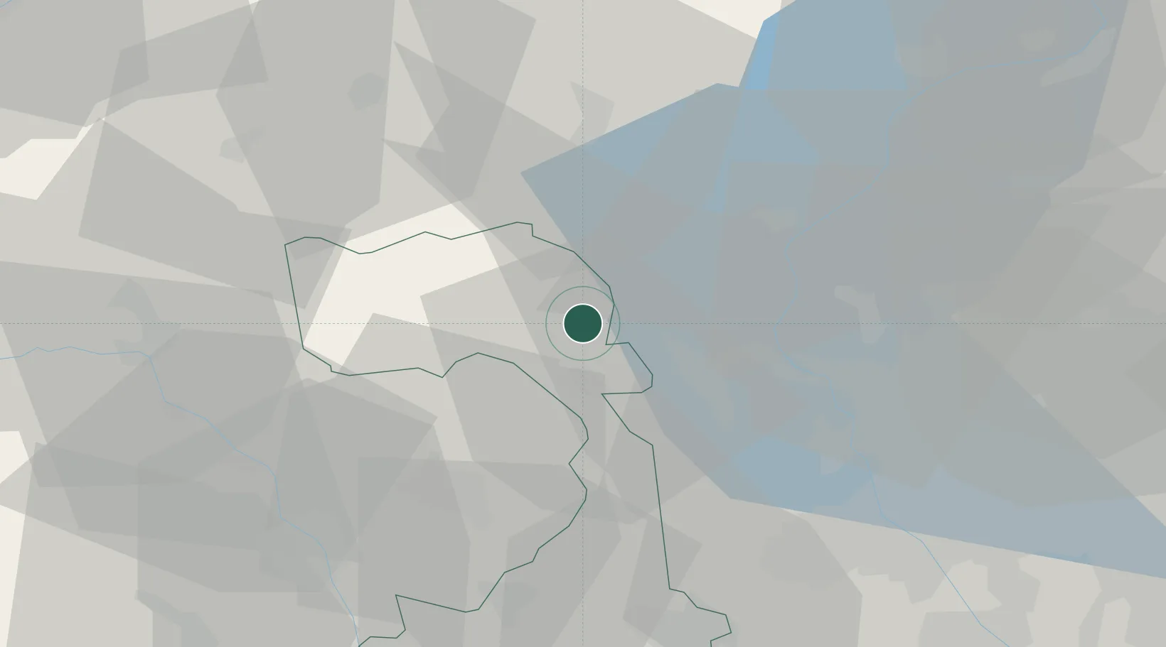
Hub Profile
Place type
Urban district
Region
Piedmont
Population
646
Time zone
Europe/Rome
Elevation
434 m
Location
Nearby Logistics Neighbours
Cities
- 1Valduggia8 km
- 2San Maurizio d'Opaglio9 km
- 3Pogno10 km
- 4Serravalle Sesia13 km
- 5Coggiola15 km
Ports
- 1Genova164 km
- 2Savona166 km
- 3Rada Di Vado171 km
- 4Chiavari - Lavagna185 km
- 5Imperia214 km
Airports
- 1Biella-Cerrione Airfield37 km
- 2Milan Malpensa International Airport39 km
- 3Cameri Air Base43 km
- 4Varese-Venegono Airport47 km
- 5Lugano Airport54 km
Trade Zones
- 1Magazzini Generali Con Chiasso52 km
- 2Aosta Valley115 km
- 3Port Franc Vevey152 km
- 4Livigno Free Trade Zone162 km
- 5PESA - Port-Franc et Entrepôts de Lausanne-Chavornay SA167 km
DatabookThe Record of Consolidated Knowledge
Italy beyond logistics?