UN/LOCODE hub · Italy
ITZAH
San Michele di Serino
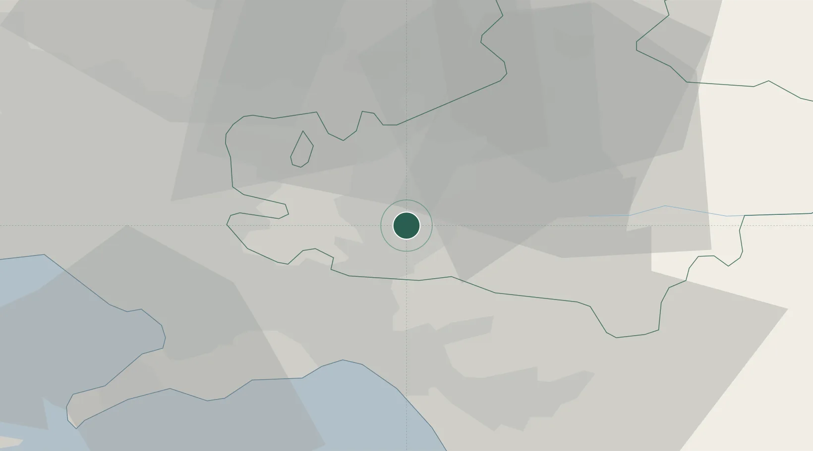
40.8833°, 14.8500°
1,305
Population
1
Transport functions
Transport Functions
Multimodal
Hub Profile
Place type
District seat
Region
Campania
Population
1,305
Time zone
Europe/Rome
Elevation
364 m
Location
Nearby Logistics Neighbours
Cities
- 1Altavilla Irpina14 km
- 2Torre Le Nocelle15 km
- 3Siano17 km
- 4Castel San Giorgio17 km
- 5Pellezzano20 km
Ports
- 1Salerno26 km
- 2Torre Annunziata37 km
- 3Castellammare Di Stabia38 km
- 4Torre Del Greco42 km
- 5Napoli49 km
Airports
- 1Salerno Costa d'Amalfi Airport30 km
- 2Naples International Airport47 km
- 3Grazzanise Air Base67 km
- 4Foggia Gino Lisa Airport84 km
- 5Amendola Air Base103 km
DatabookThe Record of Consolidated Knowledge
Italy beyond logistics?