Transport Functions
Rail
Road
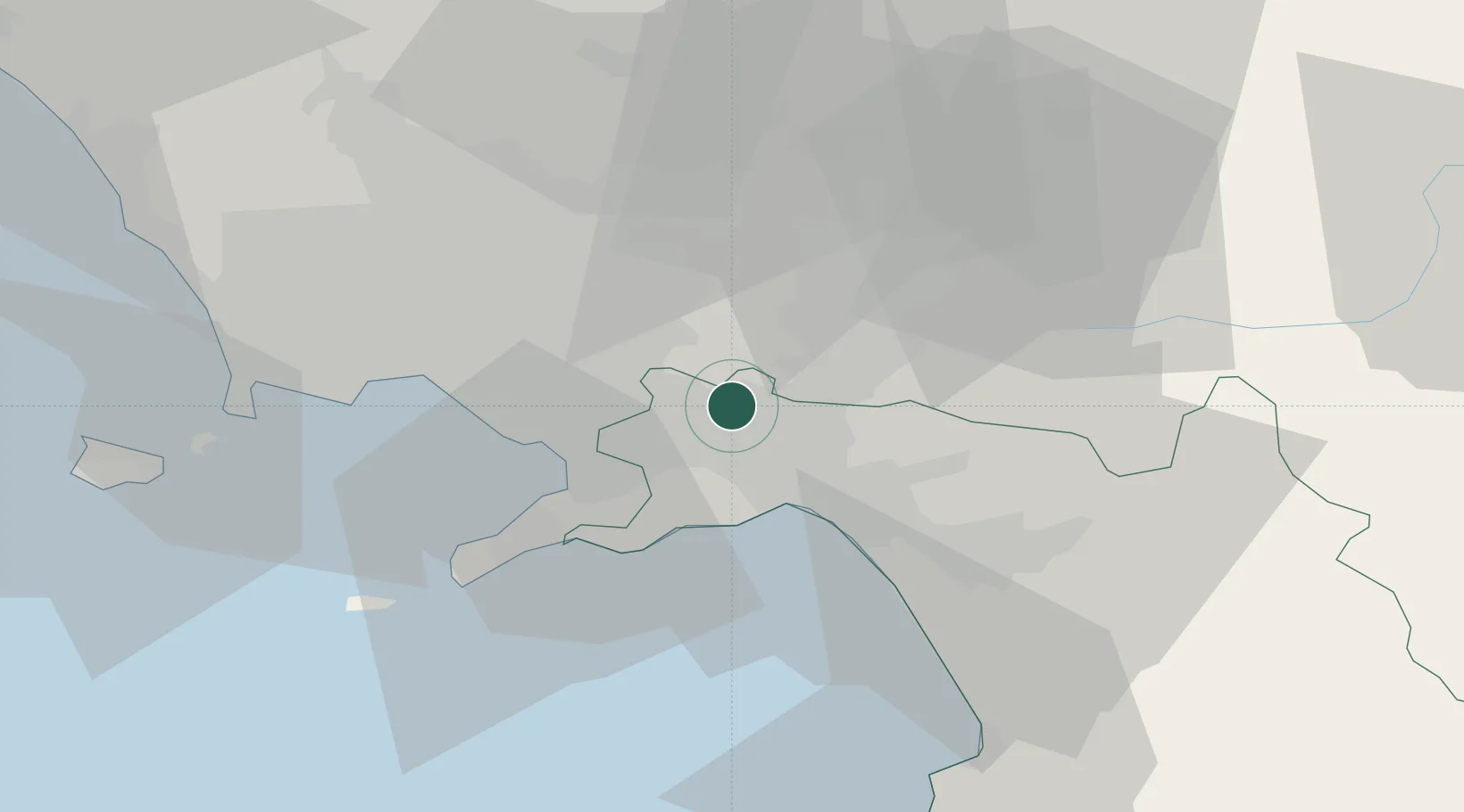
Hub Profile
Place type
District seat
Region
Campania
Population
9,855
Time zone
Europe/Rome
Elevation
126 m
Location
Nearby Logistics Neighbours
Cities
- 1Castel San Giorgio2 km
- 2Nocera Superiore8 km
- 3Pellezzano11 km
- 4Cava de' Tirreni11 km
- 5Angri12 km
Ports
- 1Salerno16 km
- 2Torre Annunziata20 km
- 3Castellammare Di Stabia21 km
- 4Torre Del Greco27 km
- 5Napoli35 km
Airports
- 1Salerno Costa d'Amalfi Airport28 km
- 2Naples International Airport34 km
- 3Grazzanise Air Base58 km
- 4Foggia Gino Lisa Airport100 km
- 5Amendola Air Base119 km
DatabookThe Record of Consolidated Knowledge
Italy beyond logistics?