Transport Functions
Road
Multimodal
Hub Profile
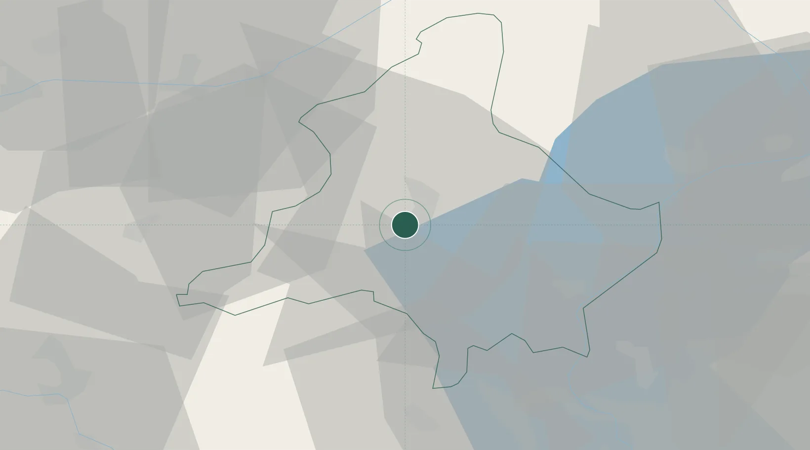
Place type
District seat
Region
Piedmont
Population
6,633
Time zone
Europe/Rome
Elevation
257 m
Location
Nearby Logistics Neighbours
Cities
- 1Piedimulera6 km
- 2Premosello Chiovenda9 km
- 3Pedemonte19 km
- 4Stresa29 km
- 5Roccapietra30 km
Ports
- 1Genova193 km
- 2Savona195 km
- 3Rada Di Vado201 km
- 4Chiavari - Lavagna213 km
- 5Imperia244 km
Airports
- 1Lugano Airport50 km
- 2Varese-Venegono Airport60 km
- 3Milan Malpensa International Airport60 km
- 4Biella-Cerrione Airfield65 km
- 5Cameri Air Base67 km
Trade Zones
- 1Magazzini Generali Con Chiasso58 km
- 2Aosta Valley119 km
- 3Port Franc Vevey138 km
- 4PESA - Port-Franc et Entrepôts de Lausanne-Chavornay SA149 km
- 5Livigno Free Trade Zone150 km
DatabookThe Record of Consolidated Knowledge
Italy beyond logistics?