Transport Functions
Rail
Road
Multimodal
Hub Profile
Place type
District seat
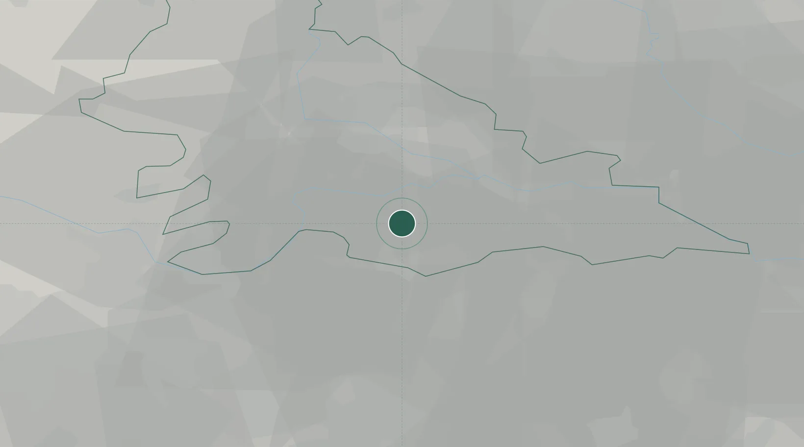
Region
Lombardy
Population
4,676
Time zone
Europe/Rome
Elevation
22 m
Location
Nearby Logistics Neighbours
Cities
- 1San Benedetto Po6 km
- 2Motteggiana9 km
- 3Quistello9 km
- 4Villanova di Reggiolo9 km
- 5Borgoforte10 km
Ports
- 1Porto Garibaldi116 km
- 2Porto Di Chioggia117 km
- 3Marina Di Carrara126 km
- 4Porto Di Corsini127 km
- 5La Spezia129 km
Airports
Trade Zones
DatabookThe Record of Consolidated Knowledge
Italy beyond logistics?