Transport Functions
Multimodal
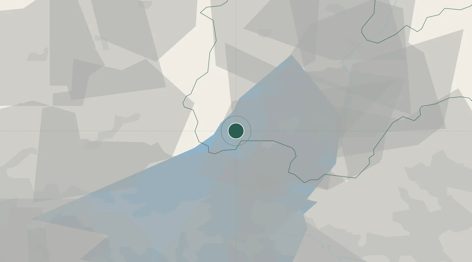
Hub Profile
Place type
Populated place
Region
Trentino-Alto Adige
Population
984
Time zone
Europe/Rome
Elevation
744 m
Location
Nearby Logistics Neighbours
Ports
- 1Porto Di Chioggia146 km
- 2Porto Di Lido-Venezia147 km
- 3Porto Garibaldi183 km
- 4Nogaro194 km
- 5Porto Di Corsini200 km
Airports
Trade Zones
DatabookThe Record of Consolidated Knowledge
Italy beyond logistics?