Transport Functions
Multimodal
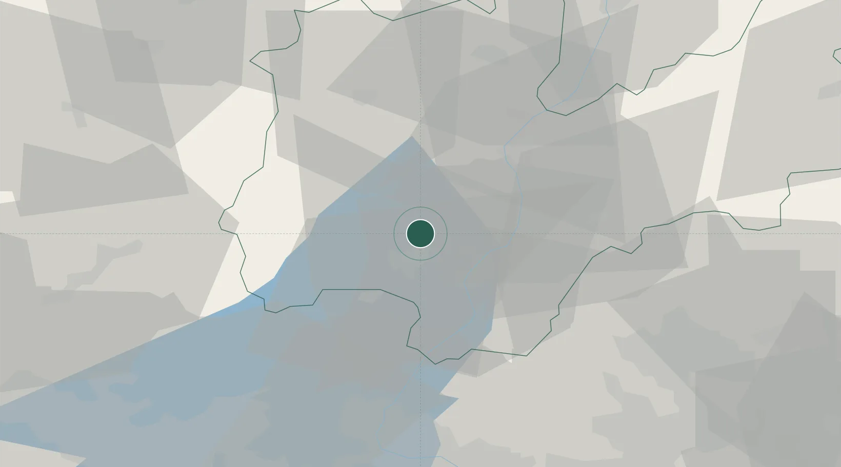
Hub Profile
Place type
District seat
Region
Trentino-Alto Adige
Population
2,535
Time zone
Europe/Rome
Elevation
123 m
Location
Nearby Logistics Neighbours
Cities
- 1Pietramurata6 km
- 2Ragoli14 km
- 3Mori15 km
- 4Calliano15 km
- 5Tiarno Di Sopra20 km
Ports
- 1Porto Di Lido-Venezia134 km
- 2Porto Di Chioggia136 km
- 3Nogaro177 km
- 4Porto Garibaldi178 km
- 5Grado188 km
Airports
Trade Zones
DatabookThe Record of Consolidated Knowledge
Italy beyond logistics?