UN/LOCODE hub · Italy
ITSEI

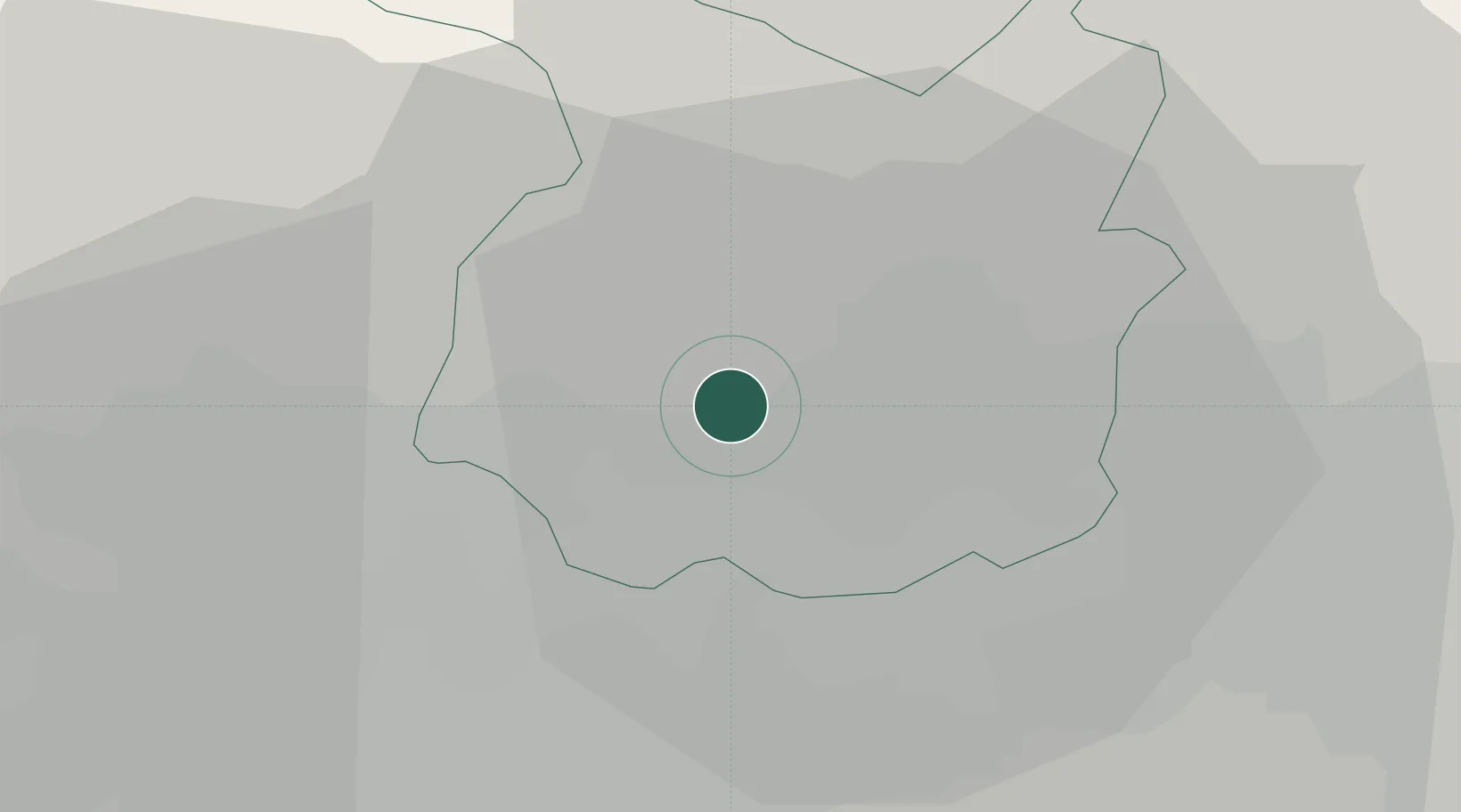
Serravalle Pistoiese

43.9000°, 10.8167°
258
Population
2
Transport functions

Transport Functions

Rail
Road
UN/LOCODE

Hub Profile

Place type
District seat
GeoNames
Region
Tuscany
GeoNames
Population
258
GeoNames
Time zone
Europe/Rome
GeoNames
Elevation
182 m
GeoNames

Location

Location of ITSEI
Natural Earth 10m (public domain) · Tuscany · ITSEI · 43.90, 10.82GoogleOSMYandex

Nearby Logistics Neighbours

Cities
  1. 1Pieve a Nievole4 km
  2. 2Marliana6 km
  3. 3Casalguidi8 km
  4. 4Borgo a Buggiano9 km
  5. 5Chiesina Uzzanese11 km
Nearest neighbours — logibook spatial index (haversine) over the source coordinates
Ports
  1. 1Viareggio47 km
  2. 2Livorno58 km
  3. 3Marina Di Carrara63 km
  4. 4Vada68 km
  5. 5La Spezia82 km
Nearest neighbours — logibook spatial index (haversine) over the source coordinates
Airports
  1. 1Florence Airport, Peretola33 km
  2. 2Pisa International Airport42 km
  3. 3Sarzana-Luni Air Base70 km
  4. 4Siena-Ampugnano Airport80 km
  5. 5Bologna Guglielmo Marconi Airport80 km
Nearest neighbours — logibook spatial index (haversine) over the source coordinates
Trade Zones
  1. 1Consorzio Zona Industriale e Porto Fluviale di Padova187 km
  2. 2Free Port of Venice207 km
  3. 3Magazzini Generali Con Chiasso262 km
  4. 4Port of Pula Free Zone263 km
  5. 5Abruzzo Special Economic Zone272 km
Nearest neighbours — logibook spatial index (haversine) over the source coordinates
DatabookThe Record of Consolidated Knowledge
Italy beyond logistics?
Browse databook

All Sources

LocationsUN/LOCODE
UN/LOCODE — free
LocationsGeoNames
CC BY 4.0
Portsthe NGA World Port Index
Public domain (US gov)
AirportsOurAirports
Public domain
Trade Zonesthe World Bank SEZ database
CC BY 4.0
Trade ZonesOpen Zone Map
CC BY
← Italy locations