Transport Functions
Rail
Road
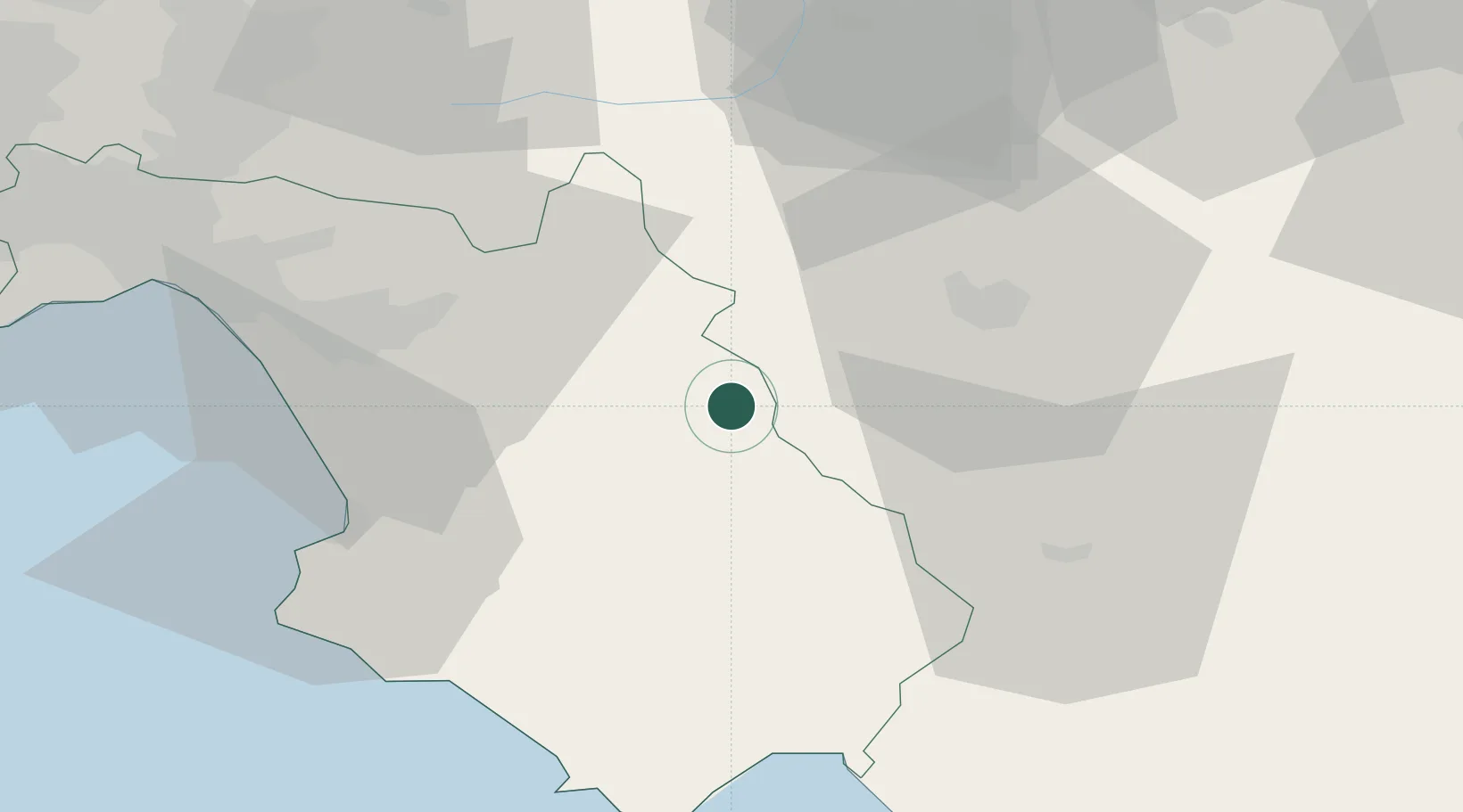
Hub Profile
Place type
District seat
Region
Campania
Population
5,182
Time zone
Europe/Rome
Elevation
468 m
Location
Nearby Logistics Neighbours
Cities
- 1Atena Lucana9 km
- 2Buccino16 km
- 3Tito17 km
- 4Sala Consilina18 km
- 5Serre26 km
Ports
- 1Salerno64 km
- 2Castellammare Di Stabia87 km
- 3Torre Annunziata91 km
- 4Torre Del Greco99 km
- 5Napoli108 km
Airports
DatabookThe Record of Consolidated Knowledge
Italy beyond logistics?