Transport Functions
Port
Hub Profile
Place type
District seat
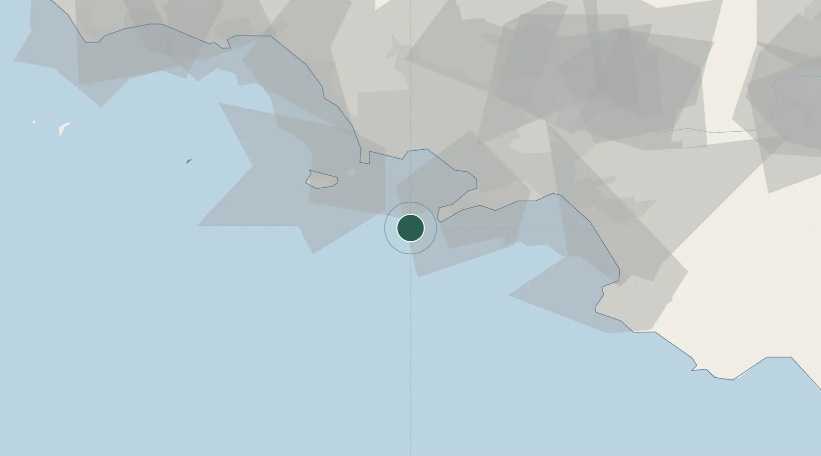
Region
Campania
Population
6,770
Time zone
Europe/Rome
Elevation
142 m
Location
Nearby Logistics Neighbours
Cities
- 1Marina Grande1 km
- 2Marina della Lobra10 km
- 3Massa Lubrense10 km
- 4Piano di Sorrento16 km
- 5Meta18 km
Ports
- 1Castellammare Di Stabia26 km
- 2Torre Del Greco28 km
- 3Torre Annunziata29 km
- 4Bagnoli30 km
- 5Procida30 km
Airports
- 1Naples International Airport38 km
- 2Salerno Costa d'Amalfi Airport58 km
- 3Grazzanise Air Base58 km
- 4Foggia Gino Lisa Airport147 km
- 5Latina Air Base157 km
DatabookThe Record of Consolidated Knowledge
Italy beyond logistics?