Transport Functions
Port
Road
Hub Profile
Place type
Populated place
Region
Campania
Time zone
Europe/Rome
Elevation
223 m
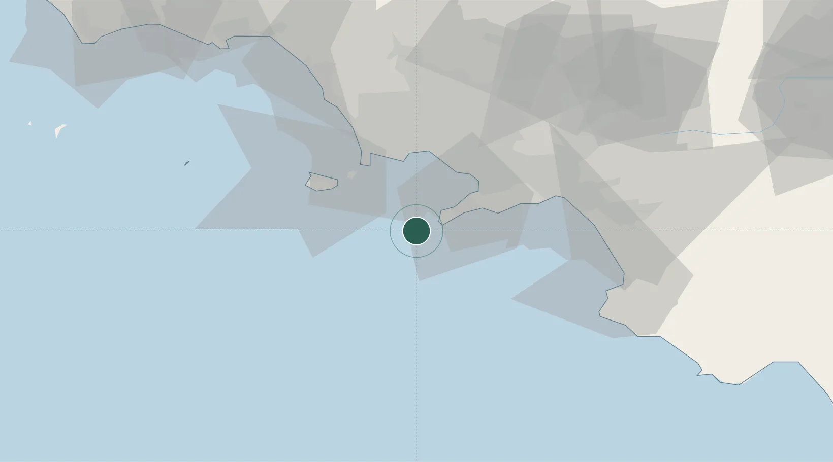
Location
Nearby Logistics Neighbours
Cities
- 1Capri1 km
- 2Marina della Lobra9 km
- 3Massa Lubrense9 km
- 4Piano di Sorrento15 km
- 5Meta17 km
Ports
- 1Castellammare Di Stabia25 km
- 2Torre Del Greco28 km
- 3Torre Annunziata28 km
- 4Bagnoli30 km
- 5Procida31 km
Airports
- 1Naples International Airport38 km
- 2Salerno Costa d'Amalfi Airport56 km
- 3Grazzanise Air Base59 km
- 4Foggia Gino Lisa Airport146 km
- 5Latina Air Base158 km
DatabookThe Record of Consolidated Knowledge
Italy beyond logistics?