Transport Functions
Rail
Road
Multimodal
Hub Profile
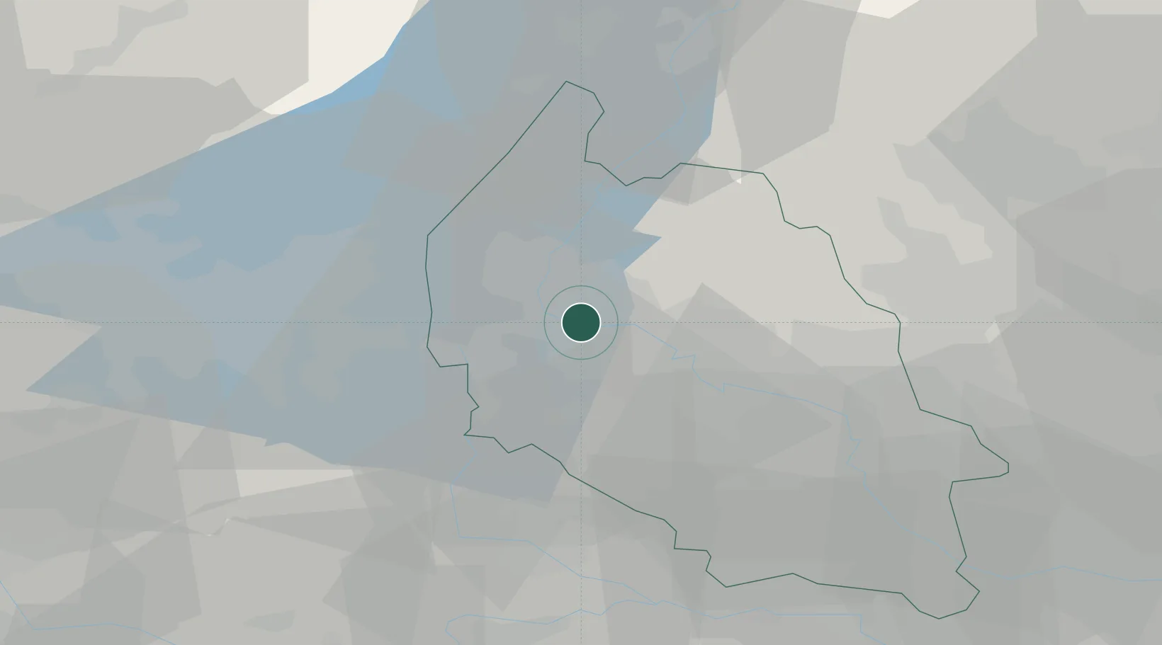
Place type
District seat
Region
Veneto
Population
11,743
Time zone
Europe/Rome
Elevation
80 m
Location
Nearby Logistics Neighbours
Cities
- 1Parona di Valpolicella5 km
- 2San Floriano5 km
- 3Palazzolo5 km
- 4Valgatara6 km
- 5Sega di Cavaion8 km
Ports
- 1Porto Di Chioggia115 km
- 2Porto Di Lido-Venezia122 km
- 3Porto Garibaldi141 km
- 4Porto Di Corsini157 km
- 5La Spezia174 km
Airports
Trade Zones
DatabookThe Record of Consolidated Knowledge
Italy beyond logistics?