Transport Functions
Multimodal
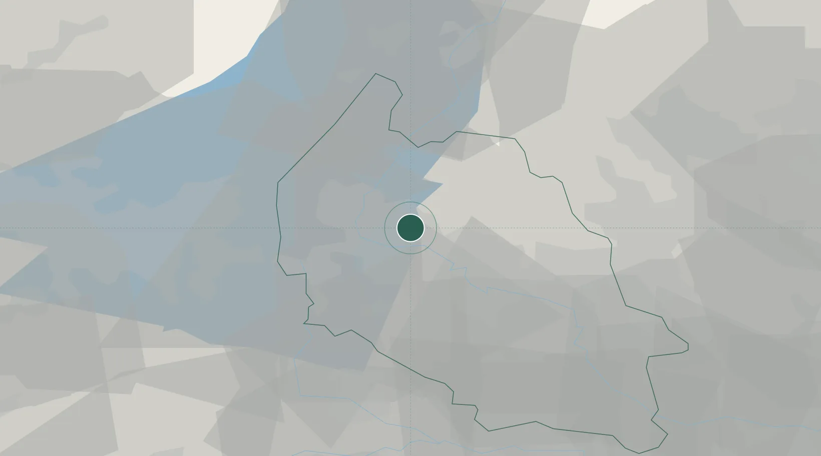
Hub Profile
Place type
Populated place
Region
Veneto
Population
2,000
Time zone
Europe/Rome
Elevation
140 m
Location
Nearby Logistics Neighbours
Cities
- 1Valgatara2 km
- 2Marano di Valpolicella4 km
- 3Parona di Valpolicella4 km
- 4Pescantina5 km
- 5Marzana7 km
Ports
- 1Porto Di Chioggia113 km
- 2Porto Di Lido-Venezia119 km
- 3Porto Garibaldi140 km
- 4Porto Di Corsini157 km
- 5Nogaro177 km
Airports
Trade Zones
DatabookThe Record of Consolidated Knowledge
Italy beyond logistics?