Transport Functions
Rail
Road
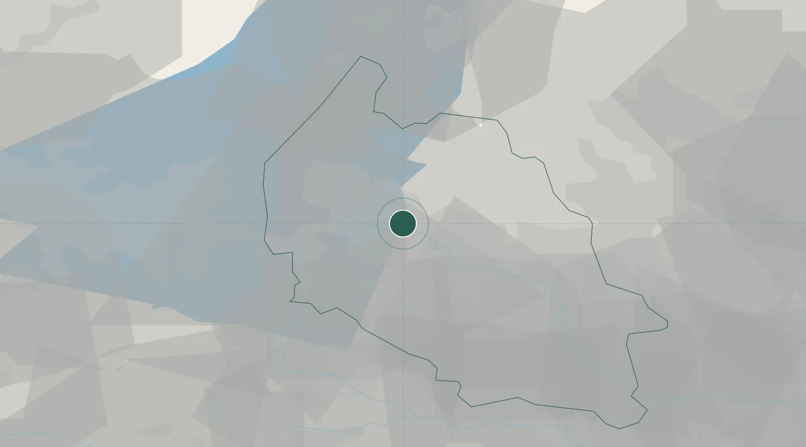
Hub Profile
Region
VR
Location
Nearby Logistics Neighbours
Cities
- 1San Floriano4 km
- 2Pescantina5 km
- 3Marzana6 km
- 4Valgatara6 km
- 5Marano di Valpolicella7 km
Ports
- 1Porto Di Chioggia110 km
- 2Porto Di Lido-Venezia117 km
- 3Porto Garibaldi137 km
- 4Porto Di Corsini153 km
- 5Nogaro176 km
Airports
Trade Zones
DatabookThe Record of Consolidated Knowledge
Italy beyond logistics?