Transport Functions
Port
Road
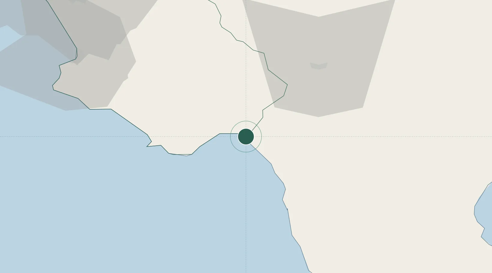
Hub Profile
Place type
District seat
Region
Campania
Population
6,716
Time zone
Europe/Rome
Elevation
5 m
Location
Nearby Logistics Neighbours
Cities
- 1Maratea12 km
- 2Lagonegro13 km
- 3Scario13 km
- 4Buonabitacolo22 km
- 5Praia a Mare23 km
Ports
- 1Corigliano Calabro88 km
- 2Salerno100 km
- 3Castellammare Di Stabia121 km
- 4Torre Annunziata126 km
- 5Torre Del Greco134 km
Airports
DatabookThe Record of Consolidated Knowledge
Italy beyond logistics?