Transport Functions
Port
Rail
Road
Hub Profile
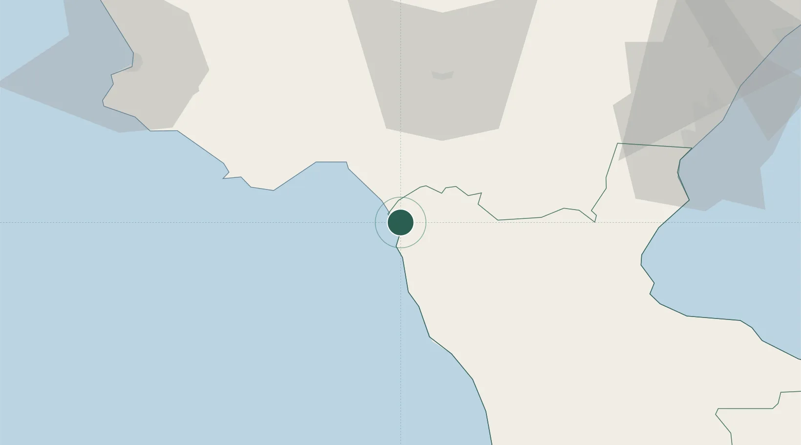
Place type
District seat
Region
Calabria
Population
6,470
Time zone
Europe/Rome
Elevation
5 m
Location
Nearby Logistics Neighbours
Cities
- 1Scalea9 km
- 2Maratea11 km
- 3Santa Domenica Talao11 km
- 4Sapri23 km
- 5Lagonegro24 km
Ports
- 1Corigliano Calabro69 km
- 2Salerno122 km
- 3Ciro Marina130 km
- 4Vibo Valentia Marina134 km
- 5Taranto136 km
Airports
DatabookThe Record of Consolidated Knowledge
Italy beyond logistics?