Transport Functions
Port
Road
Hub Profile
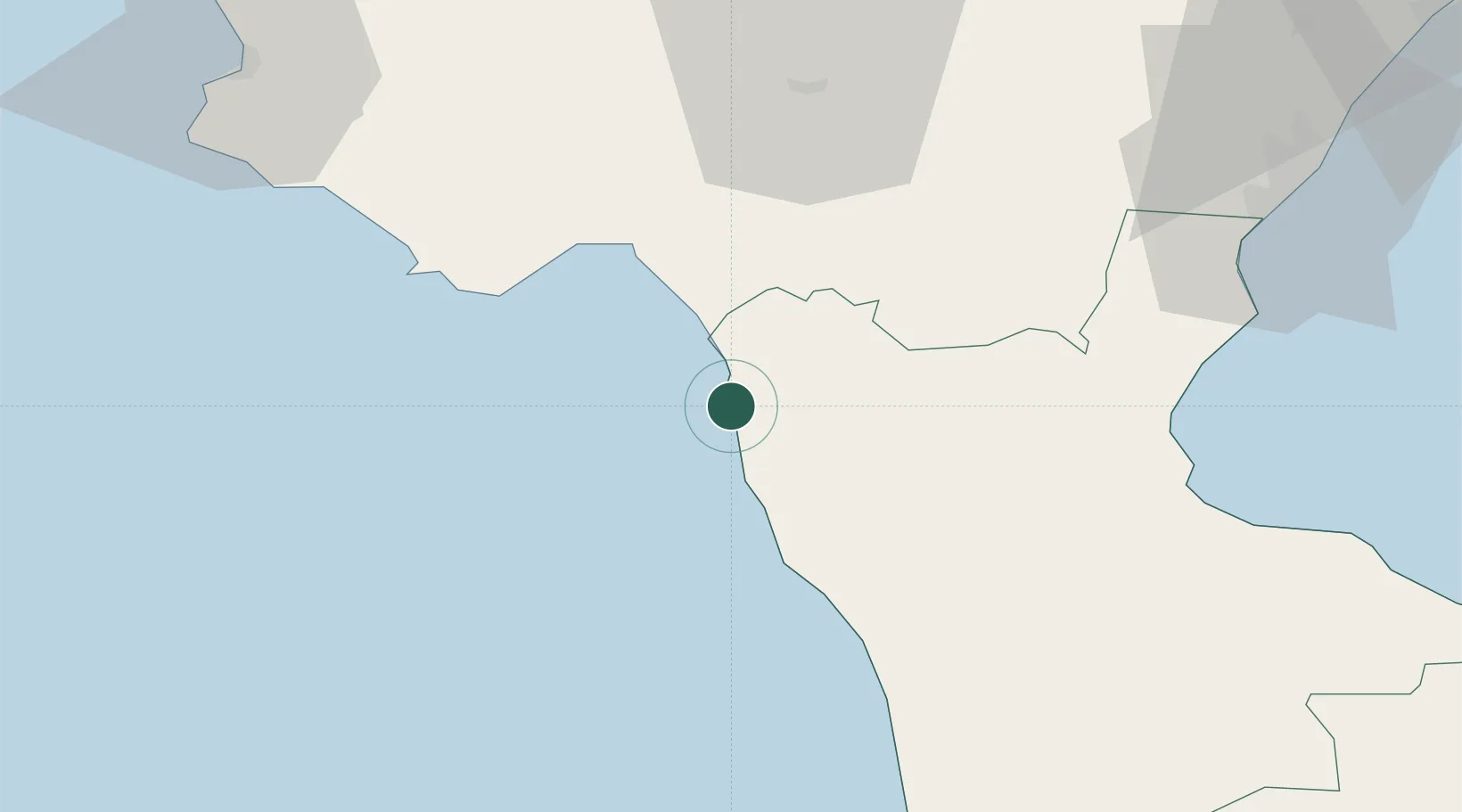
Place type
District seat
Region
Calabria
Population
9,344
Time zone
Europe/Rome
Elevation
25 m
Location
Nearby Logistics Neighbours
Cities
- 1Santa Domenica Talao6 km
- 2Praia a Mare9 km
- 3Diamante15 km
- 4Maratea19 km
- 5Belvedere Marittimo23 km
Ports
- 1Corigliano Calabro66 km
- 2Vibo Valentia Marina125 km
- 3Ciro Marina126 km
- 4Salerno129 km
- 5Taranto140 km
Airports
DatabookThe Record of Consolidated Knowledge
Italy beyond logistics?