Transport Functions
Rail
Road
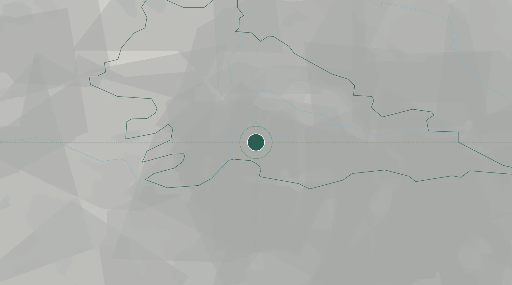
Hub Profile
Place type
District seat
Region
Lombardy
Population
767
Time zone
Europe/Rome
Elevation
20 m
Location
Nearby Logistics Neighbours
Cities
- 1Borgoforte2 km
- 2Pegognaga9 km
- 3Cesole9 km
- 4Canicossa11 km
- 5Villarotta11 km
Ports
- 1Porto Di Chioggia124 km
- 2Porto Garibaldi125 km
- 3Marina Di Carrara125 km
- 4La Spezia127 km
- 5Porto Di Corsini136 km
Airports
Trade Zones
DatabookThe Record of Consolidated Knowledge
Italy beyond logistics?