UN/LOCODE hub · Italy
ITOEG
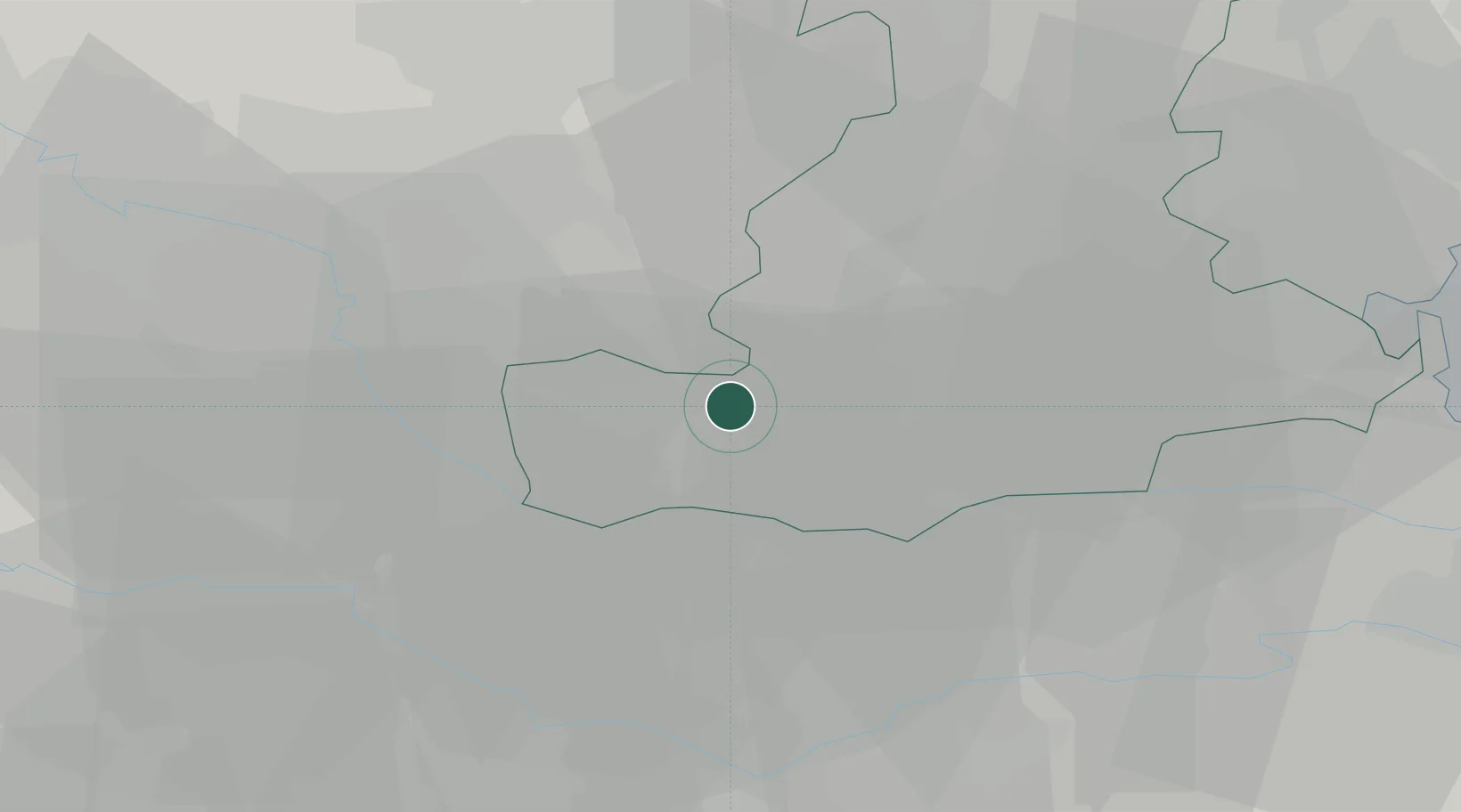
Ospedaletto Euganeo
45.2167°, 11.6000°
5,494
Population
2
Transport functions
Transport Functions
Rail
Road
Hub Profile
Place type
District seat
Region
Veneto
Population
5,494
Time zone
Europe/Rome
Elevation
12 m
Location
Nearby Logistics Neighbours
Cities
- 1Ponso4 km
- 2Vighizzolo D Este5 km
- 3Saletto5 km
- 4Megliadino San Vitale8 km
- 5Villamarzana9 km
Ports
- 1Porto Di Chioggia55 km
- 2Porto Di Lido-Venezia69 km
- 3Porto Garibaldi79 km
- 4Porto Di Corsini97 km
- 5Cesenatico129 km
Airports
Trade Zones
DatabookThe Record of Consolidated Knowledge
Italy beyond logistics?