Transport Functions
Rail
Road
Hub Profile
Place type
Populated place
Region
Lombardy
Time zone
Europe/Rome
Elevation
399 m
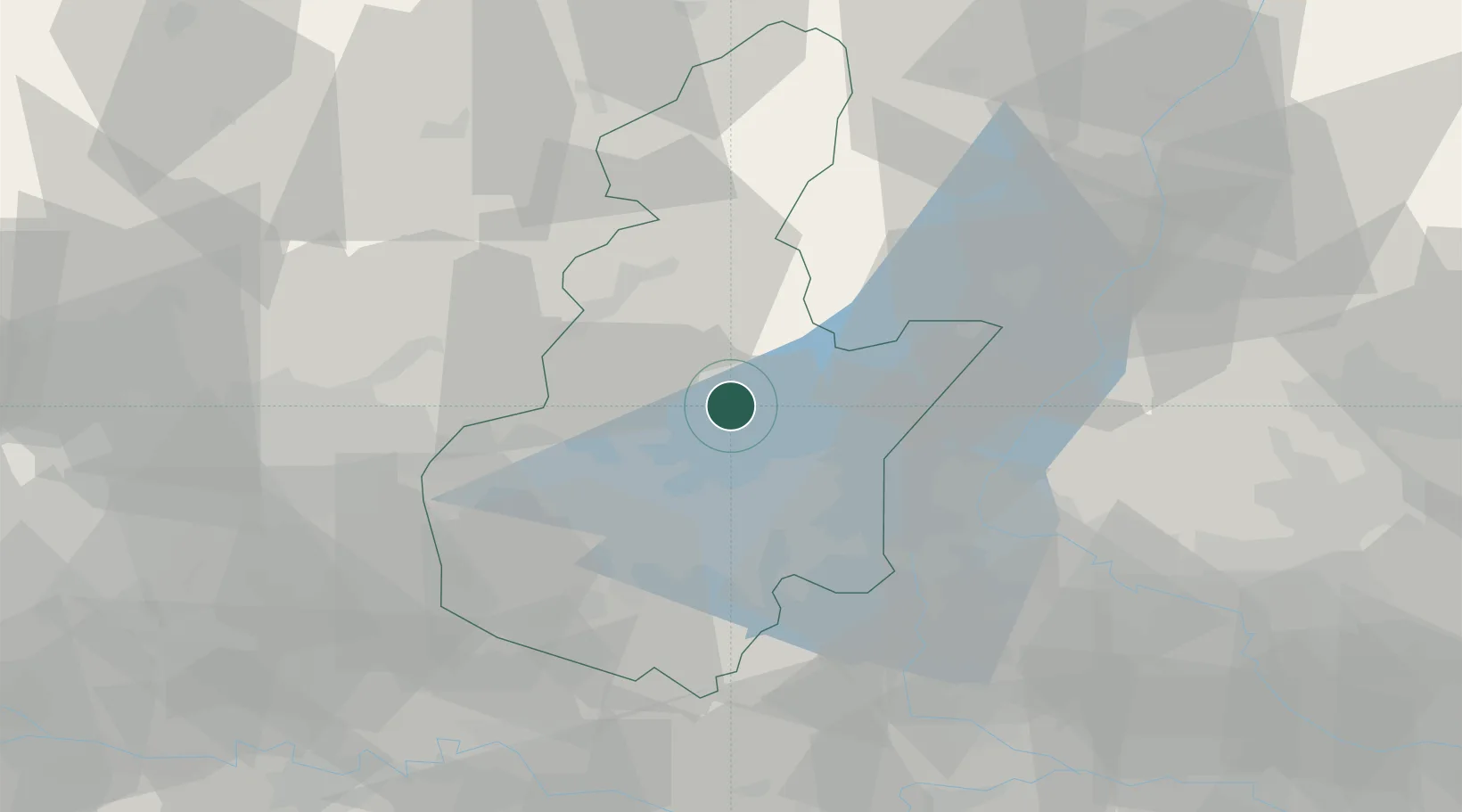
Location
Nearby Logistics Neighbours
Cities
- 1Lavenone5 km
- 2Agnosine6 km
- 3Sabbio Chiese6 km
- 4Vallio Terme9 km
- 5Lumezzane11 km
Ports
- 1Porto Di Chioggia158 km
- 2Porto Di Lido-Venezia163 km
- 3Chiavari - Lavagna176 km
- 4La Spezia183 km
- 5Genova185 km
Airports
Trade Zones
DatabookThe Record of Consolidated Knowledge
Italy beyond logistics?