Transport Functions
Multimodal
Hub Profile
Place type
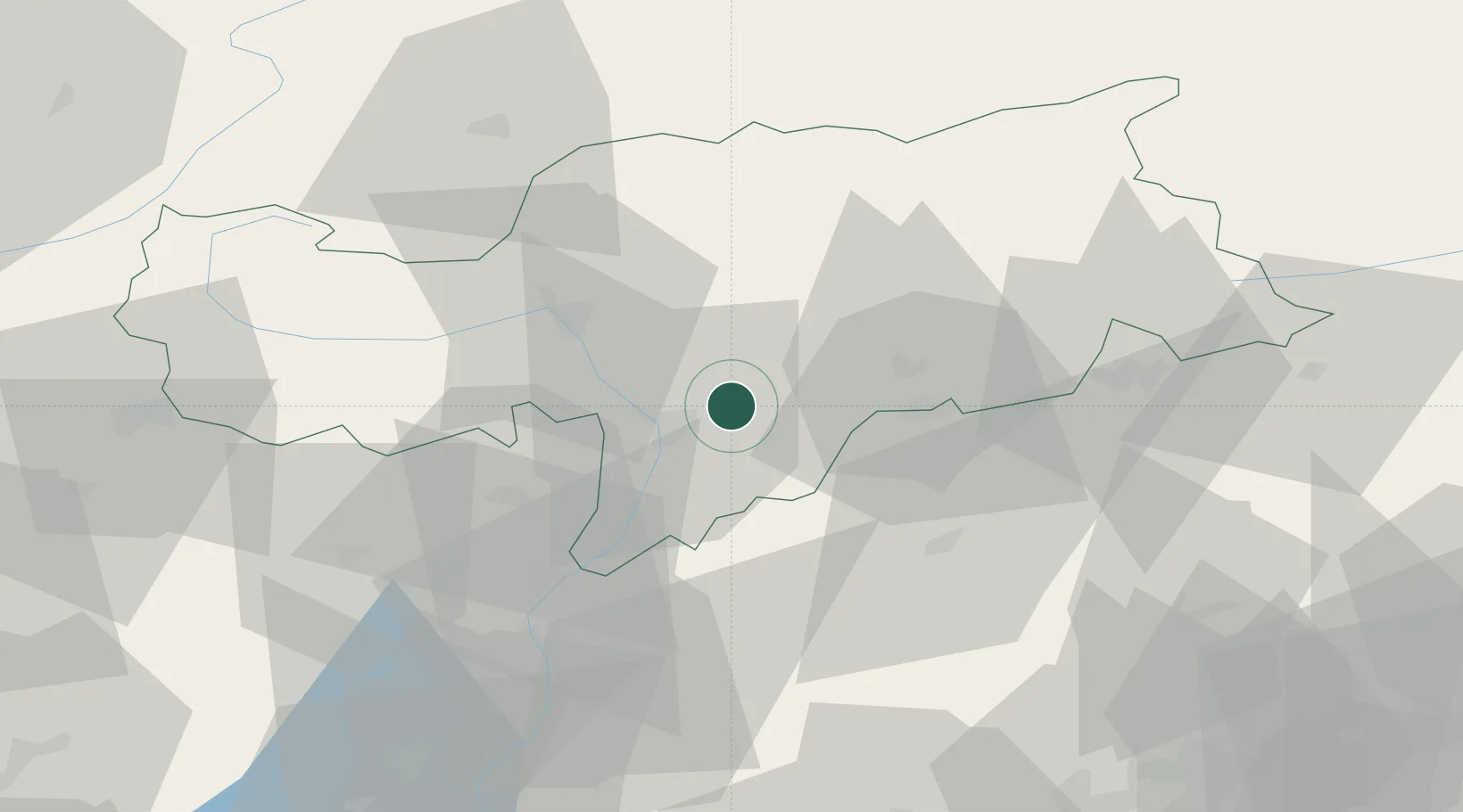
Populated place
Region
Trentino-Alto Adige
Population
602
Time zone
Europe/Rome
Elevation
909 m
Location
Nearby Logistics Neighbours
Cities
- 1Cardano4 km
- 2Terlano14 km
- 3Bronzolo16 km
- 4Ortisei19 km
- 5Gargazzone19 km
Ports
- 1Porto Di Lido-Venezia145 km
- 2Porto Di Chioggia158 km
- 3Nogaro158 km
- 4Grado170 km
- 5Monfalcone182 km
Airports
- 1Bolzano Airport10 km
- 2Trento-Mattarello Airport60 km
- 3Innsbruck Airport83 km
- 4Aviano Air Base104 km
- 5Istrana Air Base105 km
Trade Zones
DatabookThe Record of Consolidated Knowledge
Italy beyond logistics?