Transport Functions
Rail
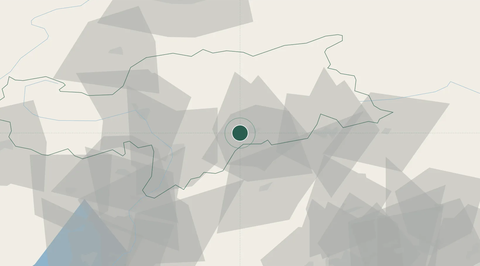
Hub Profile
Place type
District seat
Region
Trentino-Alto Adige
Population
4,306
Time zone
Europe/Rome
Elevation
1,230 m
Location
Nearby Logistics Neighbours
Cities
- 1Velturno/Feldthurns12 km
- 2Corvara In Badia16 km
- 3Auna di Sotto19 km
- 4Varna19 km
- 5Cardano23 km
Ports
- 1Porto Di Lido-Venezia141 km
- 2Nogaro146 km
- 3Porto Di Chioggia156 km
- 4Grado159 km
- 5Monfalcone169 km
Airports
- 1Bolzano Airport29 km
- 2Trento-Mattarello Airport73 km
- 3Innsbruck Airport81 km
- 4Aviano Air Base93 km
- 5Istrana Air Base103 km
Trade Zones
DatabookThe Record of Consolidated Knowledge
Italy beyond logistics?