Transport Functions
Multimodal
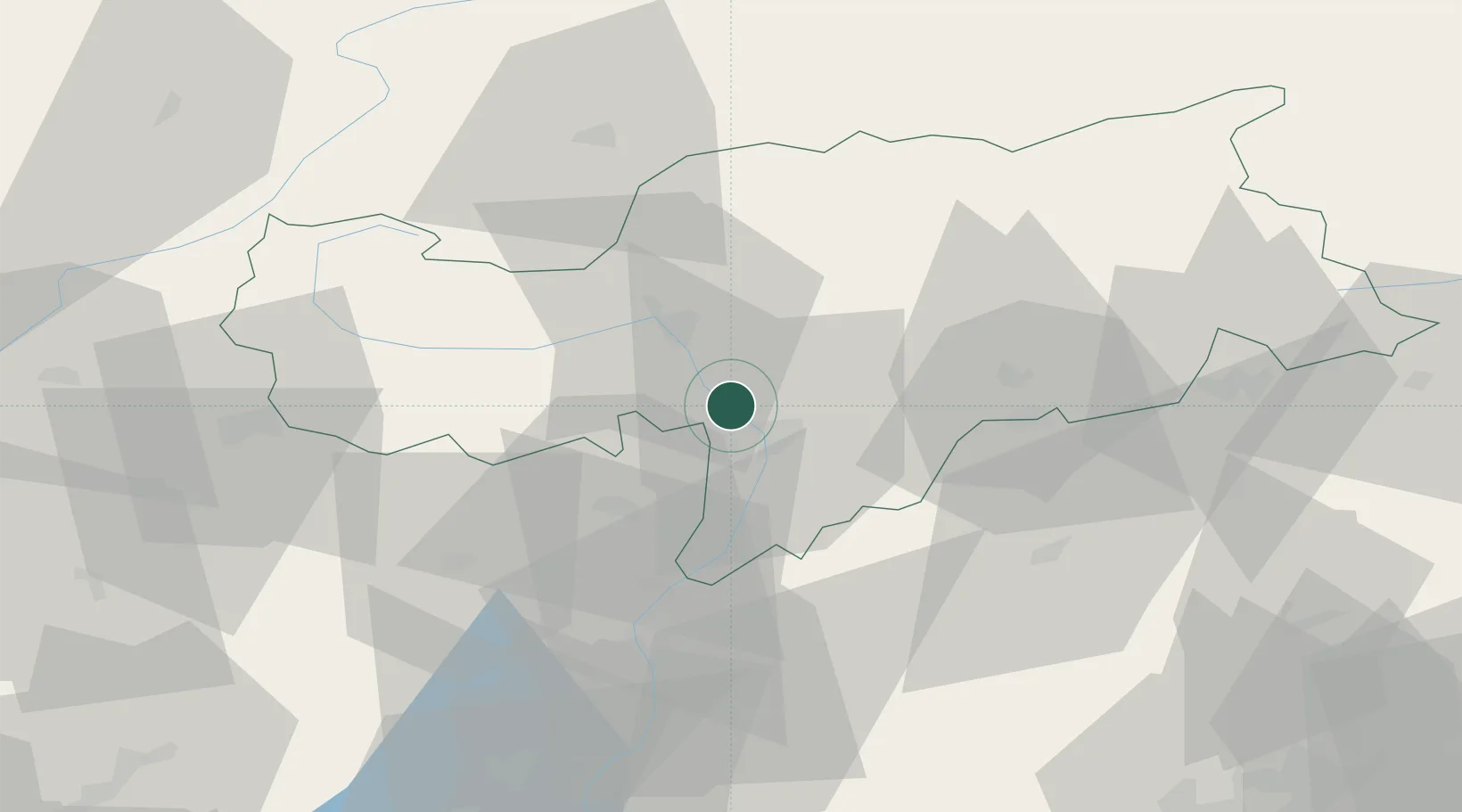
Hub Profile
Place type
District seat
Region
Trentino-Alto Adige
Population
1,823
Time zone
Europe/Rome
Elevation
248 m
Location
Nearby Logistics Neighbours
Cities
- 1Gargazzone7 km
- 2Cardano11 km
- 3Lana12 km
- 4Auna di Sotto14 km
- 5Bronzolo16 km
Ports
- 1Porto Di Lido-Venezia154 km
- 2Porto Di Chioggia166 km
- 3Nogaro171 km
- 4Grado183 km
- 5Monfalcone196 km
Airports
- 1Bolzano Airport10 km
- 2Trento-Mattarello Airport58 km
- 3Innsbruck Airport81 km
- 4Engadin Airport105 km
- 5Istrana Air Base114 km
Trade Zones
DatabookThe Record of Consolidated Knowledge
Italy beyond logistics?