UN/LOCODE hub · Italy
ITNAP
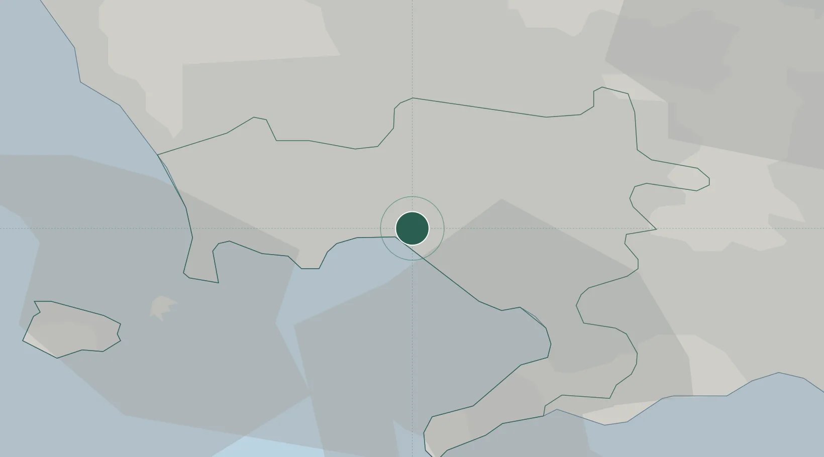
Napoli
40.8491°, 14.3144°
29
Population
4
Transport functions
2
Container terminals
Transport Functions
Port
Rail
Road
Airport
Hub Profile
Place type
Populated place
Region
Campania
Population
29
Time zone
Europe/Rome
Elevation
58 m
Logistics facilities
21
Container terminals
2
Location
Nearby Logistics Neighbours
Cities
- 1Portici4 km
- 2San Sebastiano al Vesuvio5 km
- 3Casalnuovo di Napoli8 km
- 4Frattamaggiore10 km
- 5Brusciano11 km
Ports
- 1Torre Del Greco9 km
- 2Bagnoli14 km
- 3Torre Annunziata16 km
- 4Pozzuoli17 km
- 5Baia21 km
Airports
- 1Naples International Airport5 km
- 2Grazzanise Air Base31 km
- 3Salerno Costa d'Amalfi Airport56 km
- 4Foggia Gino Lisa Airport121 km
- 5Amendola Air Base140 km
DatabookThe Record of Consolidated Knowledge
Italy beyond logistics?