Transport Functions
Multimodal
Hub Profile
Place type
District seat
Region
Campania
Population
15,238
Time zone
Europe/Rome
Elevation
27 m
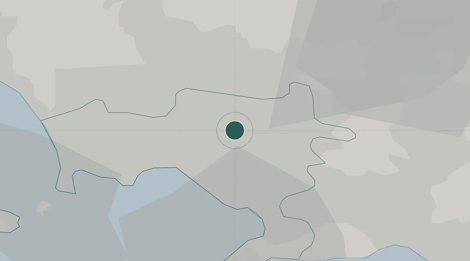
Location
Nearby Logistics Neighbours
Cities
- 1Marigliano3 km
- 2Casalnuovo di Napoli7 km
- 3Ottaviano9 km
- 4San Sebastiano al Vesuvio10 km
- 5San Paolo Bel Sito11 km
Ports
- 1Napoli15 km
- 2Torre Del Greco15 km
- 3Torre Annunziata19 km
- 4Castellammare Di Stabia25 km
- 5Bagnoli25 km
Airports
- 1Naples International Airport11 km
- 2Grazzanise Air Base32 km
- 3Salerno Costa d'Amalfi Airport53 km
- 4Foggia Gino Lisa Airport110 km
- 5Amendola Air Base129 km
DatabookThe Record of Consolidated Knowledge
Italy beyond logistics?