UN/LOCODE hub · Italy
ITMVO

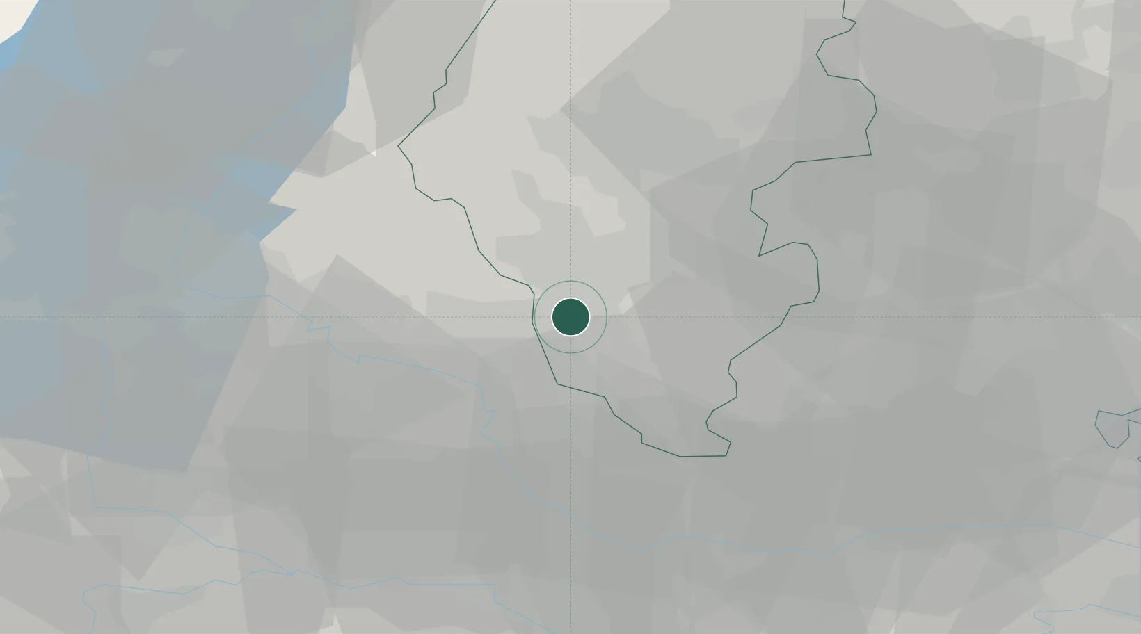
Montebello Vicentino

45.4500°, 11.3833°
5,097
Population
3
Transport functions

Transport Functions

Rail
Road
Multimodal
UN/LOCODE

Hub Profile

Place type
District seat
GeoNames
Region
Veneto
GeoNames
Population
5,097
GeoNames
Time zone
Europe/Rome
GeoNames
Elevation
53 m
GeoNames

Location

Location of ITMVO
Natural Earth 10m (public domain) · Veneto · ITMVO · 45.45, 11.38GoogleOSMYandex

Nearby Logistics Neighbours

Cities
  1. 1Monticello di Fara4 km
  2. 2Gambellara4 km
  3. 3Alte Ceccato5 km
  4. 4San Germano dei Berici9 km
  5. 5Cereda12 km
Nearest neighbours — logibook spatial index (haversine) over the source coordinates
Ports
  1. 1Porto Di Chioggia76 km
  2. 2Porto Di Lido-Venezia82 km
  3. 3Porto Garibaldi110 km
  4. 4Porto Di Corsini128 km
  5. 5Nogaro143 km
Nearest neighbours — logibook spatial index (haversine) over the source coordinates
Airports
  1. 1Padova Gino Allegri Airfield37 km
  2. 2Verona Villafranca Valerio Catullo Airport39 km
  3. 3Istrana Air Base61 km
  4. 4Trento-Mattarello Airport67 km
  5. 5Treviso Airport67 km
Nearest neighbours — logibook spatial index (haversine) over the source coordinates
Trade Zones
  1. 1Consorzio Zona Industriale e Porto Fluviale di Padova43 km
  2. 2Free Port of Venice72 km
  3. 3Livigno Free Trade Zone156 km
  4. 4Free Port of Trieste186 km
  5. 5Magazzini Generali Con Chiasso195 km
Nearest neighbours — logibook spatial index (haversine) over the source coordinates
DatabookThe Record of Consolidated Knowledge
Italy beyond logistics?
Browse databook

All Sources

LocationsUN/LOCODE
UN/LOCODE — free
LocationsGeoNames
CC BY 4.0
Portsthe NGA World Port Index
Public domain (US gov)
AirportsOurAirports
Public domain
Trade Zonesthe World Bank SEZ database
CC BY 4.0
Trade ZonesOpen Zone Map
CC BY
← Italy locations