Transport Functions
Road
Multimodal
Hub Profile
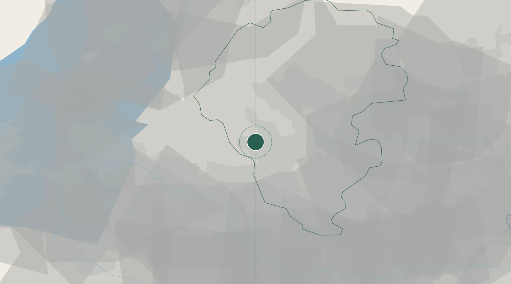
Place type
Populated place
Region
Veneto
Population
44
Time zone
Europe/Rome
Elevation
249 m
Location
Nearby Logistics Neighbours
Cities
- 1Brogliano5 km
- 2Vestenanova8 km
- 3Gambugliano9 km
- 4Gambellara9 km
- 5Altissimo11 km
Ports
- 1Porto Di Chioggia83 km
- 2Porto Di Lido-Venezia87 km
- 3Porto Garibaldi121 km
- 4Porto Di Corsini139 km
- 5Nogaro144 km
Airports
Trade Zones
DatabookThe Record of Consolidated Knowledge
Italy beyond logistics?