UN/LOCODE hub · Italy
ITGBL

Gambellara

45.4667°, 11.3333°
2,639
Population
2
Transport functions

Transport Functions

Road
Multimodal
UN/LOCODE

Hub Profile

Place type
District seat
GeoNames
Region
Veneto
GeoNames
Population
2,639
GeoNames
Time zone
Europe/Rome
GeoNames
Elevation
70 m
GeoNames

Location

Location of ITGBL
Natural Earth 10m (public domain) · Veneto · ITGBL · 45.47, 11.33GoogleOSMYandex

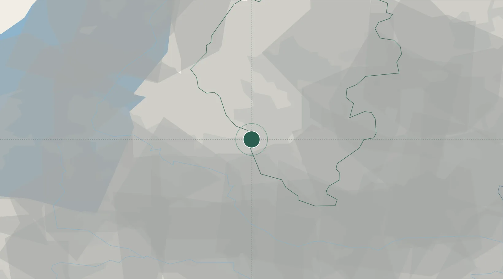
Nearby Logistics Neighbours

Cities
  1. 1Montebello Vicentino4 km
  2. 2Monticello di Fara7 km
  3. 3Alte Ceccato8 km
  4. 4Cereda9 km
  5. 5Cazzano di Tramigna10 km
Nearest neighbours — logibook spatial index (haversine) over the source coordinates
Ports
  1. 1Porto Di Chioggia80 km
  2. 2Porto Di Lido-Venezia86 km
  3. 3Porto Garibaldi114 km
  4. 4Porto Di Corsini132 km
  5. 5Nogaro146 km
Nearest neighbours — logibook spatial index (haversine) over the source coordinates
Airports
  1. 1Verona Villafranca Valerio Catullo Airport36 km
  2. 2Padova Gino Allegri Airfield41 km
  3. 3Istrana Air Base64 km
  4. 4Trento-Mattarello Airport64 km
  5. 5Treviso Airport70 km
Nearest neighbours — logibook spatial index (haversine) over the source coordinates
Trade Zones
  1. 1Consorzio Zona Industriale e Porto Fluviale di Padova47 km
  2. 2Free Port of Venice76 km
  3. 3Livigno Free Trade Zone152 km
  4. 4Free Port of Trieste190 km
  5. 5Magazzini Generali Con Chiasso190 km
Nearest neighbours — logibook spatial index (haversine) over the source coordinates
DatabookThe Record of Consolidated Knowledge
Italy beyond logistics?
Browse databook

All Sources

LocationsUN/LOCODE
UN/LOCODE — free
LocationsGeoNames
CC BY 4.0
Portsthe NGA World Port Index
Public domain (US gov)
AirportsOurAirports
Public domain
Trade Zonesthe World Bank SEZ database
CC BY 4.0
Trade ZonesOpen Zone Map
CC BY
← Italy locations