Transport Functions
Rail
Road
Multimodal
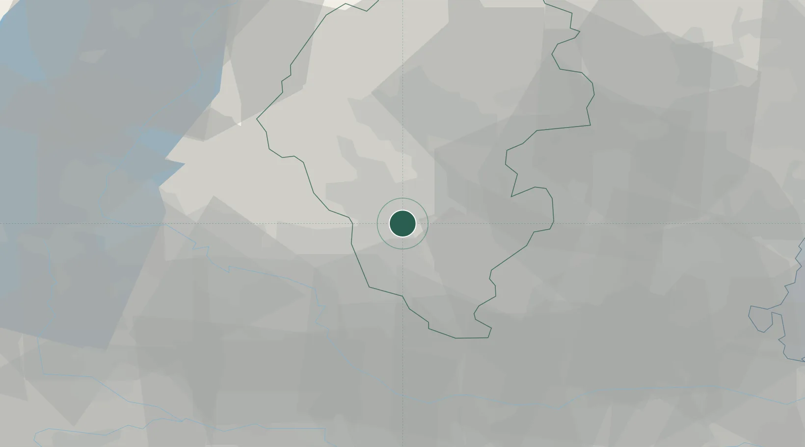
Location
Nearby Logistics Neighbours
Cities
- 1Montebello Vicentino5 km
- 2Gambellara8 km
- 3Monticello di Fara8 km
- 4San Germano dei Berici10 km
- 5Cereda11 km
Ports
- 1Porto Di Chioggia73 km
- 2Porto Di Lido-Venezia78 km
- 3Porto Garibaldi110 km
- 4Porto Di Corsini129 km
- 5Nogaro138 km
Airports
Trade Zones
DatabookThe Record of Consolidated Knowledge
Italy beyond logistics?