Transport Functions
Multimodal
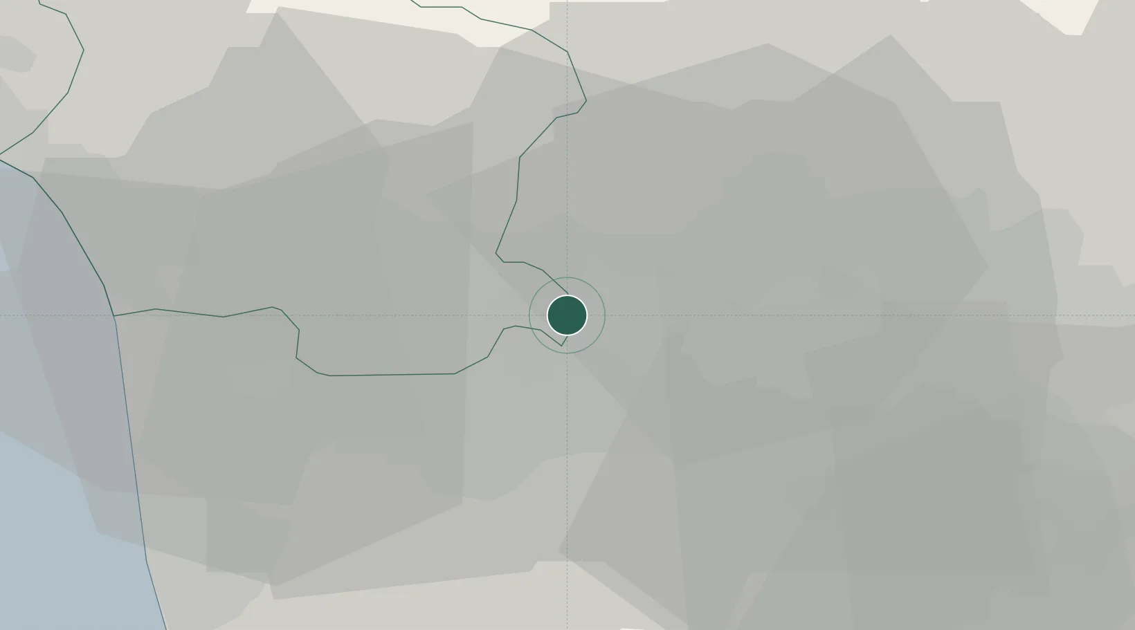
Hub Profile
Place type
Populated place
Region
Tuscany
Population
1,089
Time zone
Europe/Rome
Elevation
27 m
Location
Nearby Logistics Neighbours
Cities
- 1Chiesina Uzzanese2 km
- 2Borgo a Buggiano6 km
- 3Montecarlo6 km
- 4Pieve a Nievole9 km
- 5Collodi11 km
Ports
- 1Viareggio39 km
- 2Livorno46 km
- 3Vada56 km
- 4Marina Di Carrara59 km
- 5La Spezia77 km
Airports
Trade Zones
DatabookThe Record of Consolidated Knowledge
Italy beyond logistics?