Seaport · Italy

ForioITFRD

40.7420°, 13.8590°
Forio is also a UN/LOCODE logistics hub →

Channel & Berth Profile

NGA World Port Index

Facilities & Capabilities

Container
Ro-Ro
Liquid bulk
Dry bulk
Oil terminal
Break bulk
Dry dock
Repairs
Bunkering
Rail link
Dangerous cargo
ISPS security
NGA World Port Index

Harbour Specifications

Harbour size
Small
NGA World Port Index
Water body
Tyrrhenian Sea; Mediterranean Sea; North Atlantic Ocean
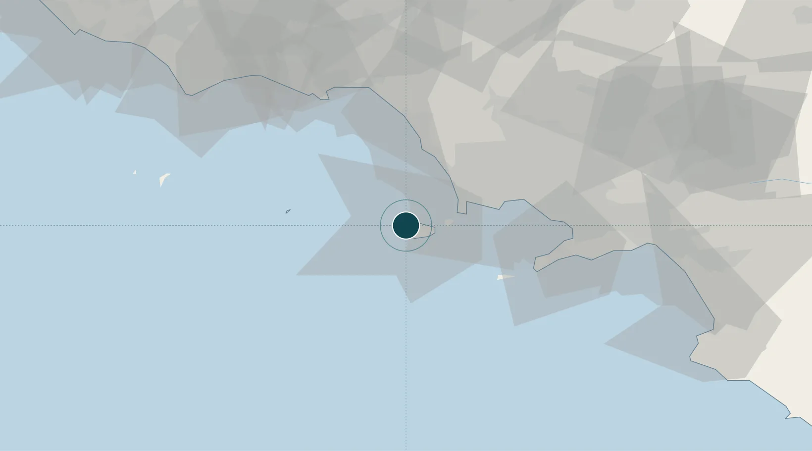
NGA World Port Index

Location

Location of ITFRD
Natural Earth 10m (public domain) · Napoli · ITFRD · 40.74, 13.86GoogleOSMYandex

Nearby Logistics Neighbours

Ports
  1. 1Casamicciola5 km
  2. 2Ischia7 km
  3. 3Procida15 km
  4. 4Baia20 km
  5. 5Pozzuoli23 km
Nearest neighbours — logibook spatial index (haversine) over the source coordinates
Cities
  1. 1Casamicciola Terme2 km
  2. 2Lacco Ameno4 km
  3. 3Ischia8 km
  4. 4Torre Gaveta18 km
  5. 5Baia19 km
Nearest neighbours — logibook spatial index (haversine) over the source coordinates
Airports
  1. 1Naples International Airport40 km
  2. 2Grazzanise Air Base40 km
  3. 3Salerno Costa d'Amalfi Airport90 km
  4. 4Latina Air Base119 km
  5. 5Pratica Di Mare Air Base156 km
Nearest neighbours — logibook spatial index (haversine) over the source coordinates
Trade Zones
  1. 1Campania Special Economic Zone (Naples and Salerno)17 km
  2. 2Ionian Special Economic Zone109 km
  3. 3Basilicata Special Economic Zone144 km
  4. 4Puglia (Apulia) Special Economic Zone Area150 km
  5. 5Abruzzo Special Economic Zone177 km
Nearest neighbours — logibook spatial index (haversine) over the source coordinates
DatabookThe Record of Consolidated Knowledge
Italy beyond logistics?
Browse databook

All Sources

Portsthe NGA World Port Index
Public domain (US gov)
AirportsOurAirports
Public domain
LocationsUN/LOCODE
UN/LOCODE — free
Trade Zonesthe World Bank SEZ database
CC BY 4.0
Trade ZonesOpen Zone Map
CC BY
← Italy ports