Transport Functions
Multimodal
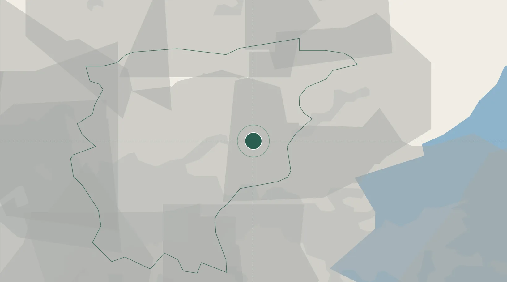
Hub Profile
Region
BG
Location
Nearby Logistics Neighbours
Cities
- 1Pisogne10 km
- 2Costa Volpino12 km
- 3Gratacasolo12 km
- 4Marone13 km
- 5Rogno13 km
Ports
- 1Chiavari - Lavagna174 km
- 2Genova176 km
- 3La Spezia189 km
- 4Marina Di Carrara197 km
- 5Savona201 km
Airports
- 1Il Caravaggio International Airport25 km
- 2Ghedi Air Base47 km
- 3Brescia Gabriele d'Annunzio Airport50 km
- 4Milano Linate Airport67 km
- 5Engadin Airport82 km
Trade Zones
DatabookThe Record of Consolidated Knowledge
Italy beyond logistics?