Transport Functions
Rail
Road
Hub Profile
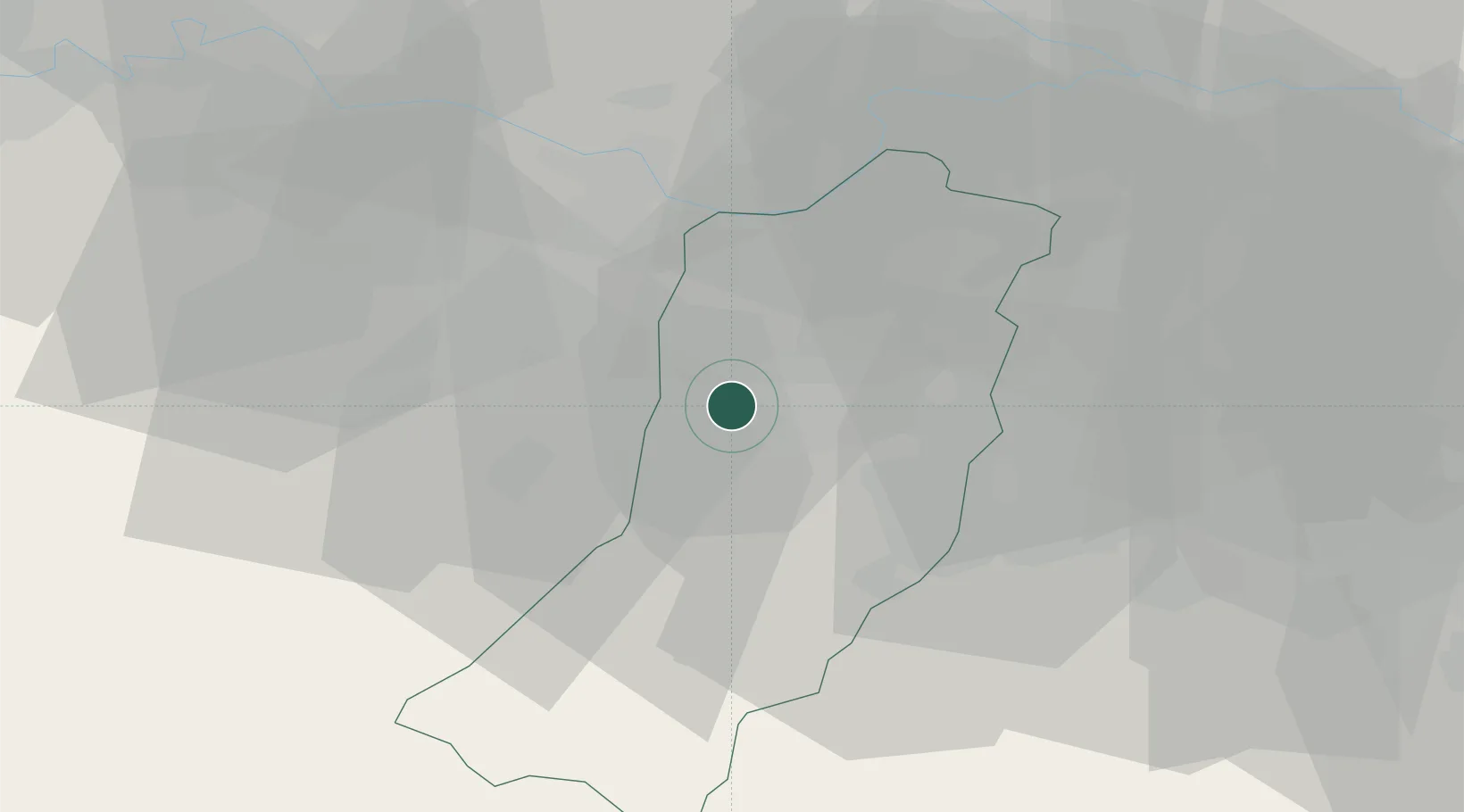
Place type
District seat
Region
Emilia-Romagna
Population
8,912
Time zone
Europe/Rome
Elevation
78 m
Location
Nearby Logistics Neighbours
Cities
- 1Cella3 km
- 2Gaida6 km
- 3San Polo d'Enza in Caviano11 km
- 4Martorano13 km
- 5Traversetolo13 km
Ports
- 1Marina Di Carrara84 km
- 2La Spezia86 km
- 3Viareggio96 km
- 4Chiavari - Lavagna104 km
- 5Livorno130 km
Airports
Trade Zones
DatabookThe Record of Consolidated Knowledge
Italy beyond logistics?