UN/LOCODE hub · Italy
ITTEF

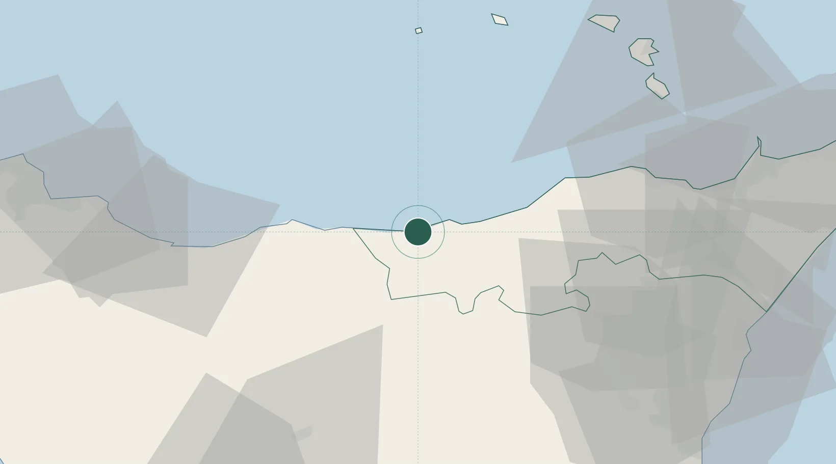
Santo Stefano di Camastra

38.0167°, 14.3500°
4,392
Population
2
Transport functions

Transport Functions

Port
Road
UN/LOCODE

Hub Profile

Place type
District seat
GeoNames
Region
Sicily
GeoNames
Population
4,392
GeoNames
Time zone
Europe/Rome
GeoNames
Elevation
70 m
GeoNames

Location

Location of ITTEF
Natural Earth 10m (public domain) · Sicily · ITTEF · 38.02, 14.35GoogleOSMYandex

Nearby Logistics Neighbours

Cities
  1. 1Cefalù29 km
  2. 2Rocca di Capri Leone32 km
  3. 3Mirto36 km
  4. 4Capo d'Orlando39 km
  5. 5Alimena41 km
Nearest neighbours — logibook spatial index (haversine) over the source coordinates
Ports
  1. 1Termini Imerese55 km
  2. 2Lipari75 km
  3. 3Riposta82 km
  4. 4Milazzo82 km
  5. 5Giardini Naxos84 km
Nearest neighbours — logibook spatial index (haversine) over the source coordinates
Airports
  1. 1Sigonella Navy Air Base85 km
  2. 2Catania-Fontanarossa Airport88 km
  3. 3Palermo-Boccadifalco Airport91 km
  4. 4Falcone–Borsellino Airport112 km
  5. 5Reggio Calabria Airport114 km
Nearest neighbours — logibook spatial index (haversine) over the source coordinates
Trade Zones
  1. 1Sicily Special Economic Zone Area51 km
  2. 2Calabria Special Economic Zone218 km
  3. 3Malta Freeport245 km
  4. 4Basilicata Special Economic Zone296 km
  5. 5Campania Special Economic Zone (Naples and Salerno)309 km
Nearest neighbours — logibook spatial index (haversine) over the source coordinates
DatabookThe Record of Consolidated Knowledge
Italy beyond logistics?
Browse databook

All Sources

LocationsUN/LOCODE
UN/LOCODE — free
LocationsGeoNames
CC BY 4.0
Portsthe NGA World Port Index
Public domain (US gov)
AirportsOurAirports
Public domain
Trade Zonesthe World Bank SEZ database
CC BY 4.0
Trade ZonesOpen Zone Map
CC BY
← Italy locations