Transport Functions
Port
Hub Profile
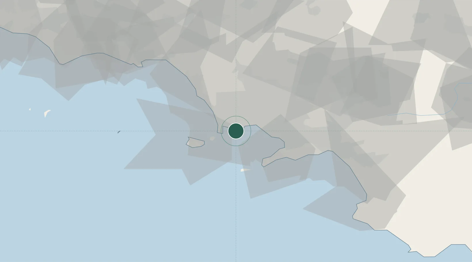
Place type
Populated place
Region
Campania
Population
23,333
Time zone
Europe/Rome
Elevation
3 m
Location
Nearby Logistics Neighbours
Cities
- 1Baia9 km
- 2Torre Gaveta10 km
- 3Napoli14 km
- 4Portici14 km
- 5Frattamaggiore17 km
Ports
- 1Pozzuoli6 km
- 2Baia8 km
- 3Napoli10 km
- 4Procida12 km
- 5Torre Del Greco17 km
Airports
- 1Naples International Airport14 km
- 2Grazzanise Air Base30 km
- 3Salerno Costa d'Amalfi Airport66 km
- 4Latina Air Base134 km
- 5Foggia Gino Lisa Airport135 km
DatabookThe Record of Consolidated Knowledge
Italy beyond logistics?