Transport Functions
Port
Hub Profile
Place type
Populated place
Region
Campania
Time zone
Europe/Rome
Elevation
26 m
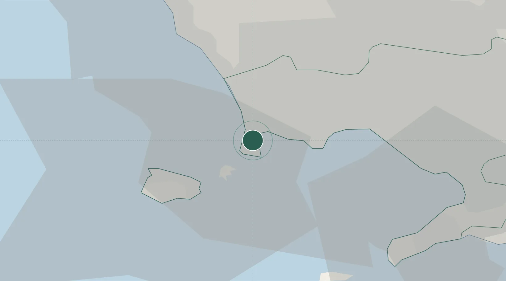
Location
Nearby Logistics Neighbours
Cities
- 1Torre Gaveta1 km
- 2Bagnoli9 km
- 3Ischia14 km
- 4Lacco Ameno16 km
- 5Casamicciola Terme17 km
Ports
- 1Pozzuoli4 km
- 2Procida6 km
- 3Bagnoli8 km
- 4Ischia13 km
- 5Casamicciola15 km
Airports
- 1Naples International Airport20 km
- 2Grazzanise Air Base27 km
- 3Salerno Costa d'Amalfi Airport75 km
- 4Latina Air Base126 km
- 5Foggia Gino Lisa Airport141 km
DatabookThe Record of Consolidated Knowledge
Italy beyond logistics?