Transport Functions
Multimodal
Hub Profile
Place type
District seat
Region
Campania
Population
7,372
Time zone
Europe/Rome
Elevation
207 m
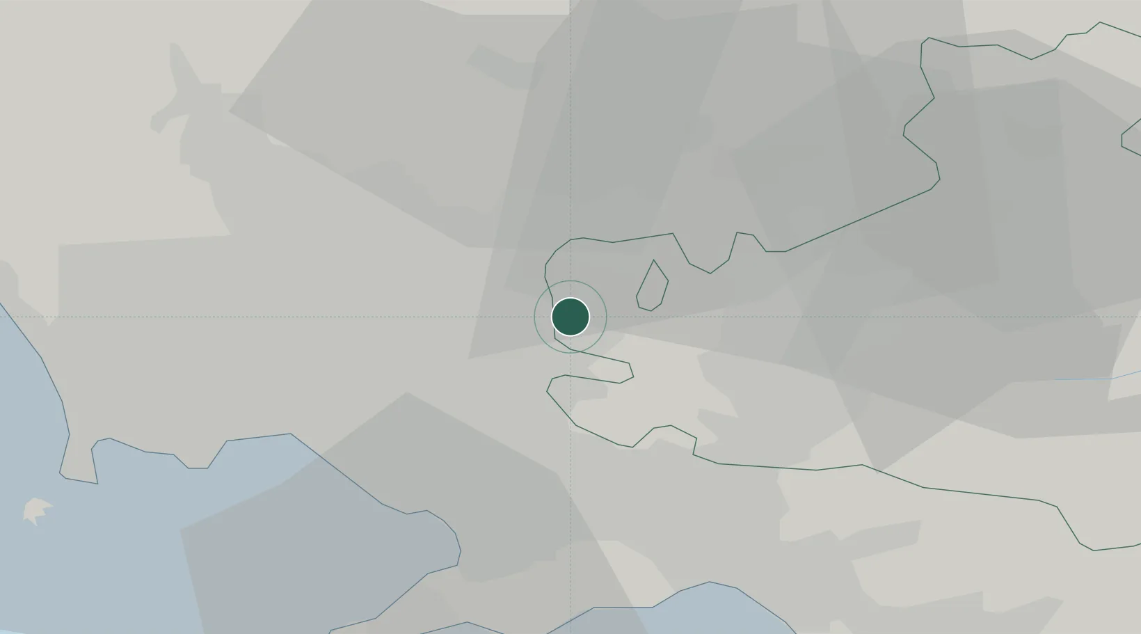
Location
Nearby Logistics Neighbours
Cities
- 1Roccarainola3 km
- 2San Paolo Bel Sito7 km
- 3Rotondi7 km
- 4Paolisi8 km
- 5Forchia9 km
Ports
- 1Torre Annunziata27 km
- 2Torre Del Greco28 km
- 3Napoli31 km
- 4Castellammare Di Stabia31 km
- 5Salerno36 km
Airports
- 1Naples International Airport28 km
- 2Grazzanise Air Base45 km
- 3Salerno Costa d'Amalfi Airport47 km
- 4Foggia Gino Lisa Airport94 km
- 5Amendola Air Base113 km
DatabookThe Record of Consolidated Knowledge
Italy beyond logistics?